Getting there ...
We decided to take a short trip just around the Bay Area for
this spring break, and I did not start to plan this trip until
almost the last few days.
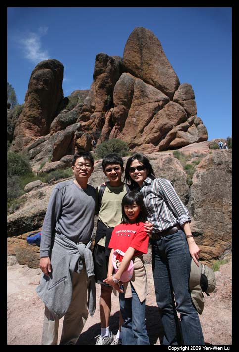
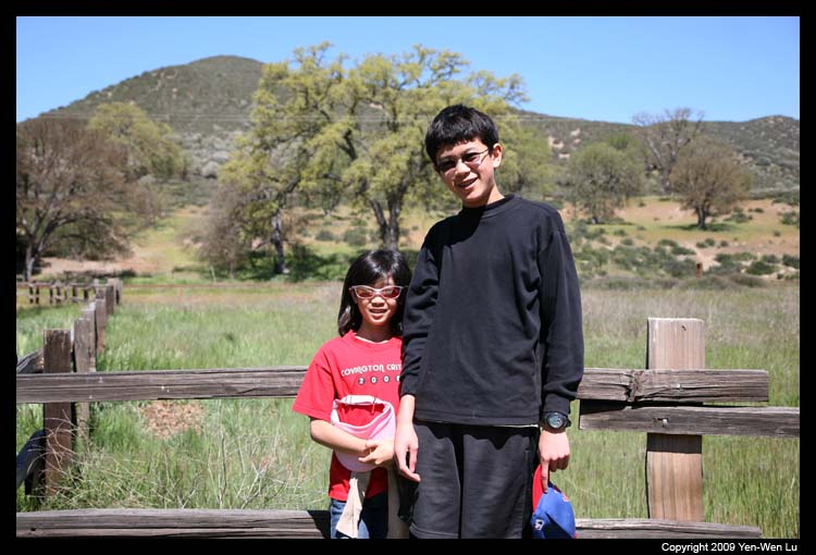
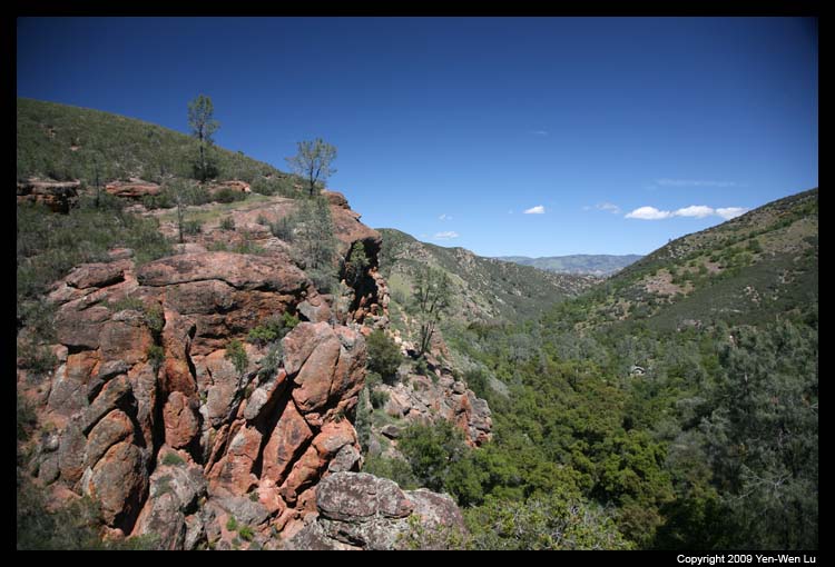
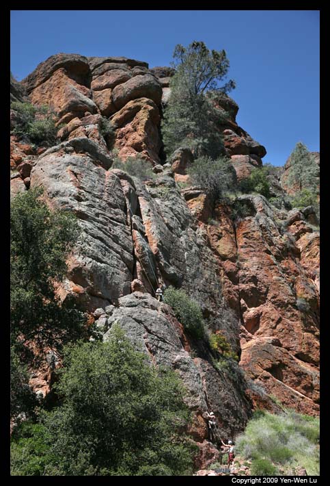
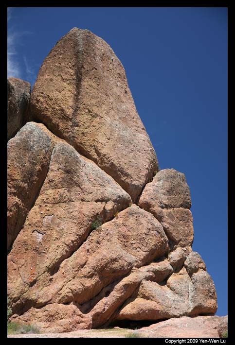
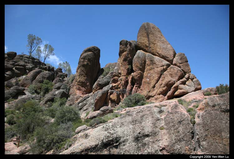
- Pinnacles National Monument
The park was more crowded than I expected because we
needed to take the shuttle bus into the Bear Gulch area
since the parking lot inside the park was already full.
After a short 15-min bus ride, we had a nice lunch at a
quiet and shaded picnic just beside the ranger station.
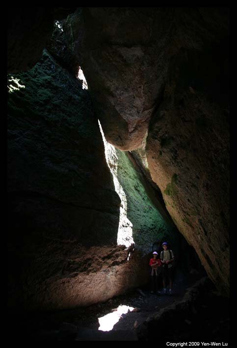
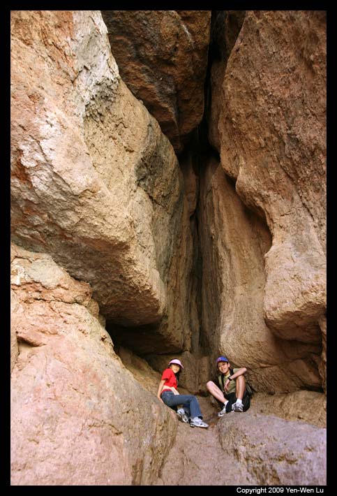
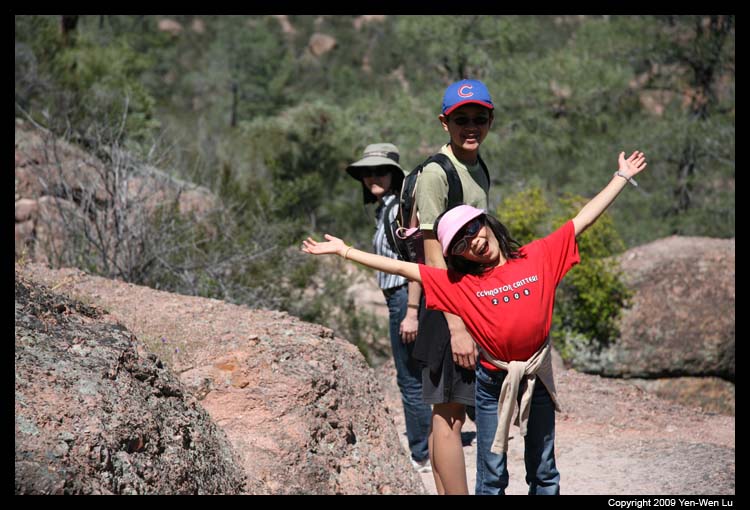
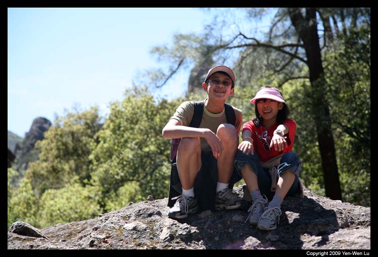
We went to hike Moses Spring Trail, Bear Gulch Cave
Trail, and Rim Trail to make it a 2.5-mile loop. The
caves are not actually caves, but rock-roofed canyons.
The trail inside the cave was dark without any lighting,
so flashlights are required to enter the cave. It was a
short trail climbing up steep and narrow passages, and it
was the highlight of our hike in Pinnacles.
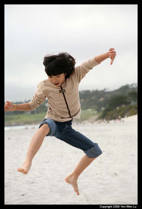
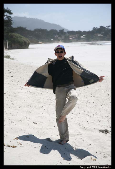
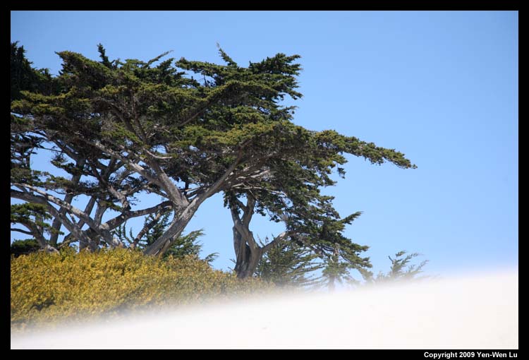
- Carmel Beach
We checked in our hotel in Carmel, which was only 2
blocks from the beach. After a short break, we walked to
the sandy Carmel beach. The beach sand was fine and nice,
but it was a little bit too cold and windy on the exposed
beach.
The Second Day ...
- Highway 1
It was a cool and windy day. On our way to Big Sur on
Highway 1, Linus was complaining because I told him it
was OK to wear his shorts today. We decided to skip the
first stop on my original plan, Andrew Molera State Park,
since no one wanted to get off the car for the hike on
the coast.
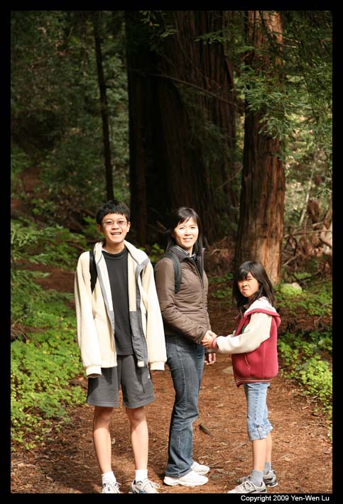
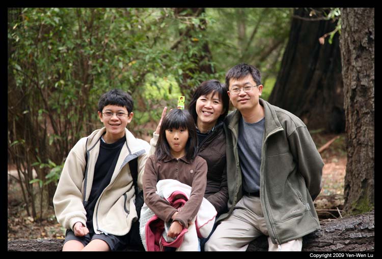
- Pfeiffer Big Sur State Park
We headed toward Pfeiffer Big Sur State Park directly and
hoped that the weather and wind could be mild in the
forest. The wind was indeed much weaker inland, but
unfortunately, all the trails on the east side of Highway
1 were closed due to the fire damage a few months ago. We
took the only trail available on the west side of Highway
1, and had a nice short hike in the redwood forest. I
also noticed some footprints of wild animals(as big as
bear footprints and as small as rabbit prints).
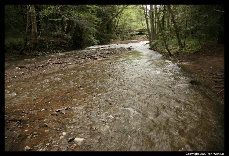
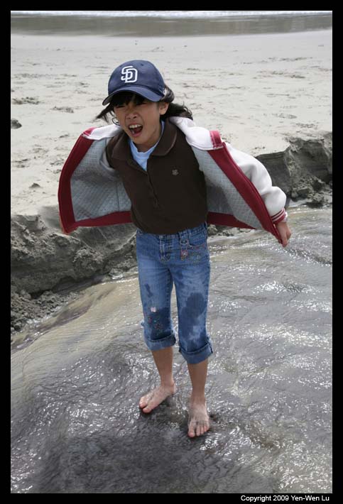
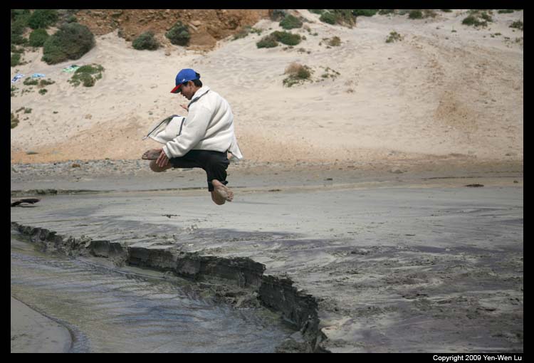
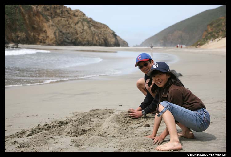
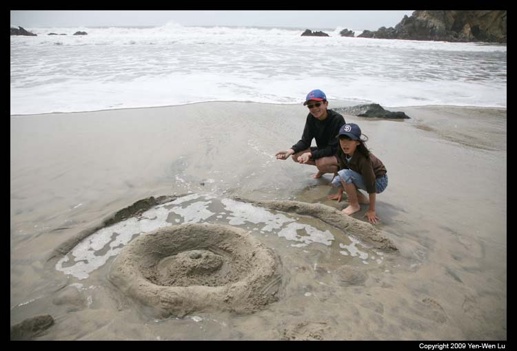
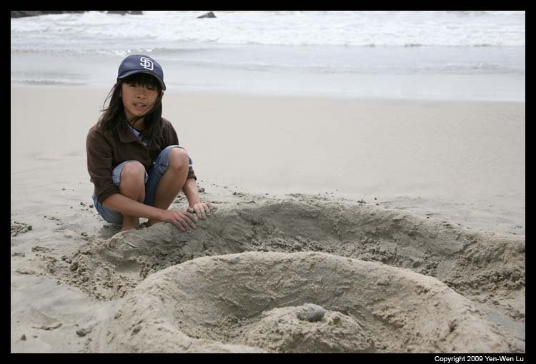
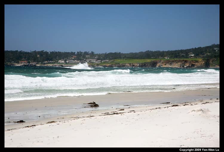
- Pfeiffer Beach
We got to the beach around noon, and decided to have our
picnic lunch in the car because it was still too windy
outside. After lunch, we walked to the beach where there
is a small stream flowing into the ocean. Linus and Iris
were trying jumping across the stream over and over
again. They also started their favorite game on beach:
building a sand dam to protect the castle from the rising
tide. Although it was still very windy, they were never
tired of their games, and they had to be dragged from the
beach when we were ready to move on.
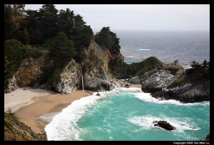
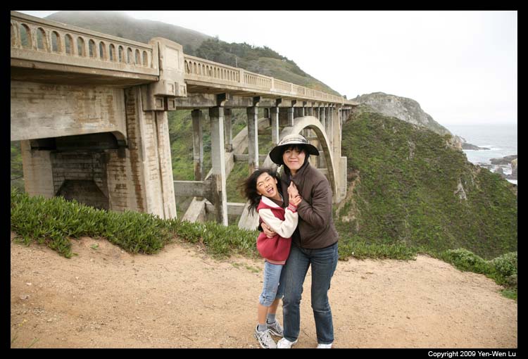
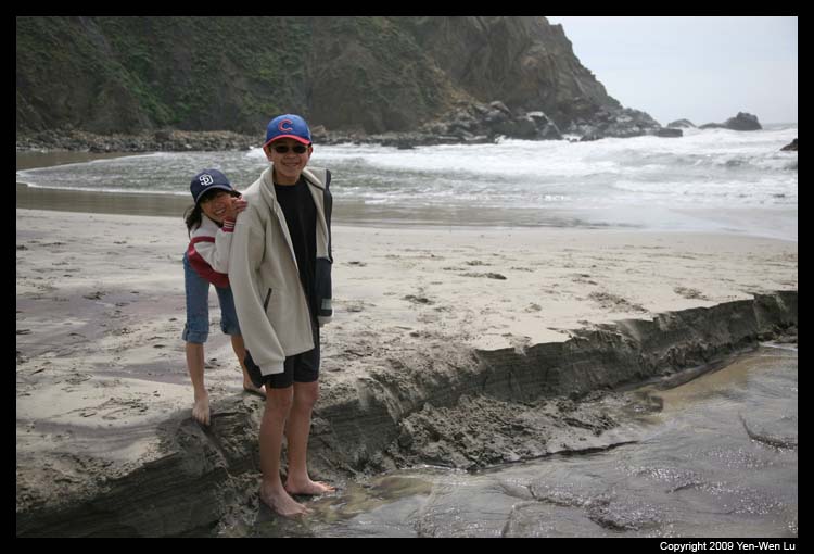
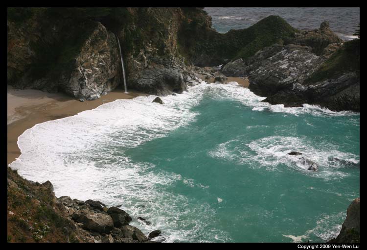
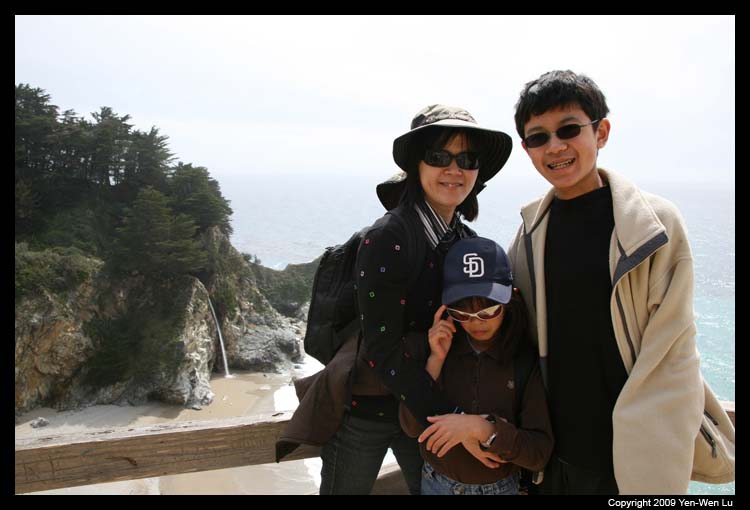
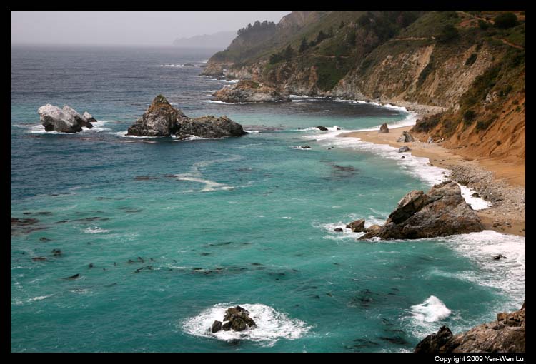
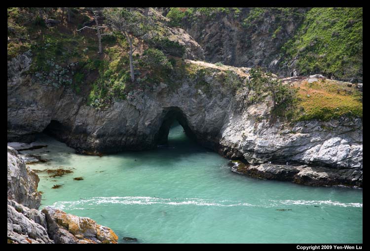
- McWay Cove, Julia Pfeiffer Burns State Park
The view from Julia Pfeiffer Burns State Park was
undoubtedly beautiful. McWay Falls, the only coastal
waterfall in California, falls 80 feet over a granite
cliff onto a sandy beach, or at high tide directly into
the Pacific Ocean. Luckily the trail to the waterfall
vista remained open because it is on the east side of
highway 1.
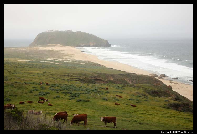
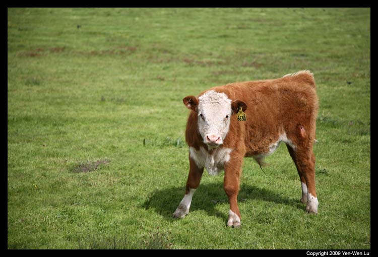
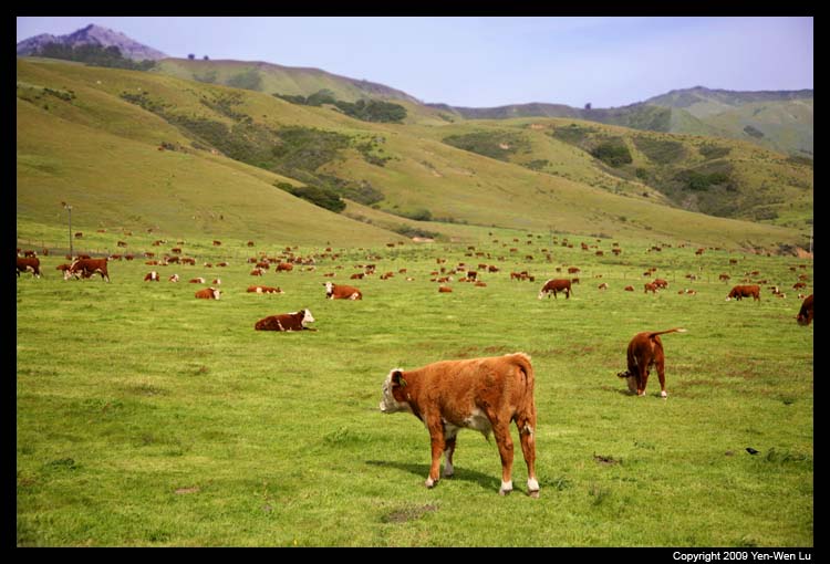
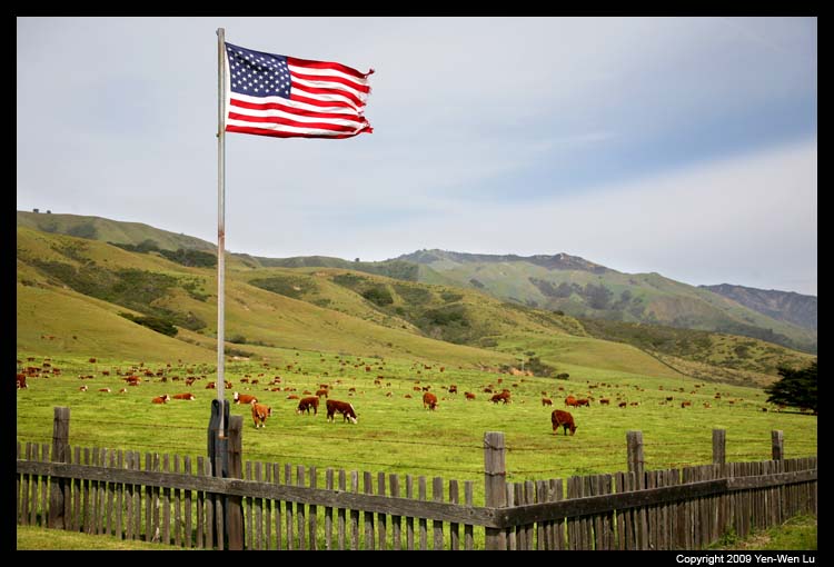
- Highway 1
One the way back to Carmel, we passed by a big pasture
ranch with hundreds of cows and I could not resist to get
off the car to get this totally different coastal
scenery.
The Last Day ...
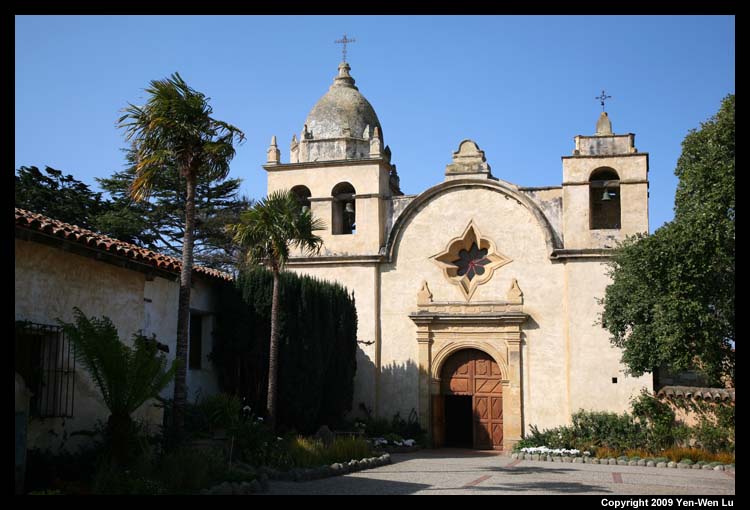
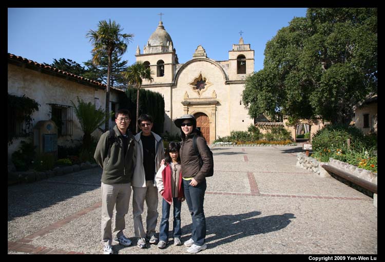
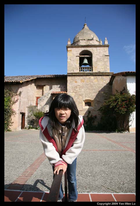
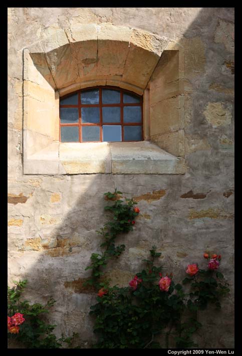
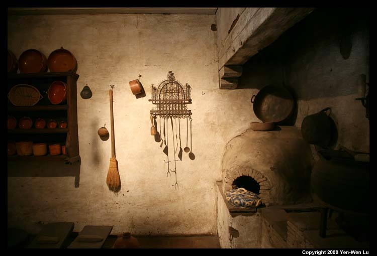
- Carmel Mission
The San Carlos Borroméo del Rio Carmelo Mission was
founded at its present site in 1771 by Father Junipero
Serra and was once the headquarters for the entire
California mission system. The last time we went to
Carmel Mission was 2001, Linus and Iris were still
toddlers and knew nothing about California history. This
time, both Linus and Iris had learned a great deal about
the history of California Missions and Junipero Serra at
school, and they were able to point out many interesting
facts that I did not know.
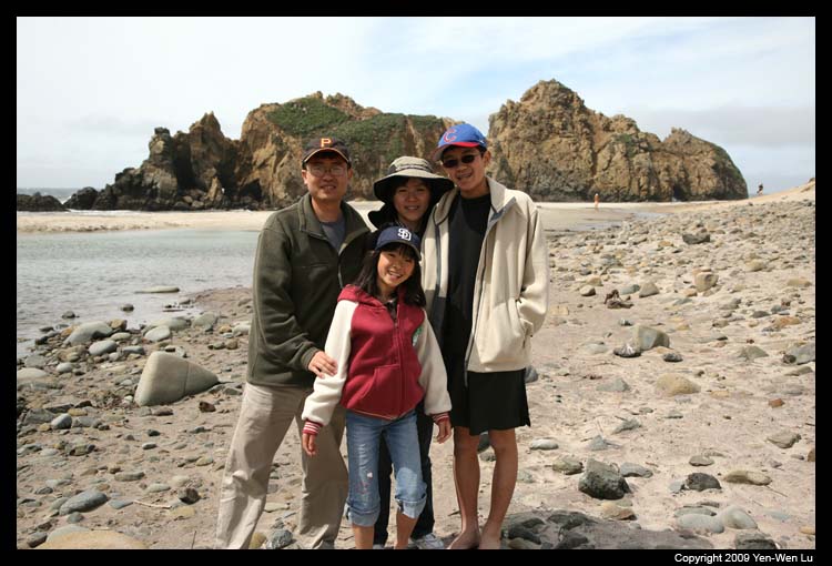
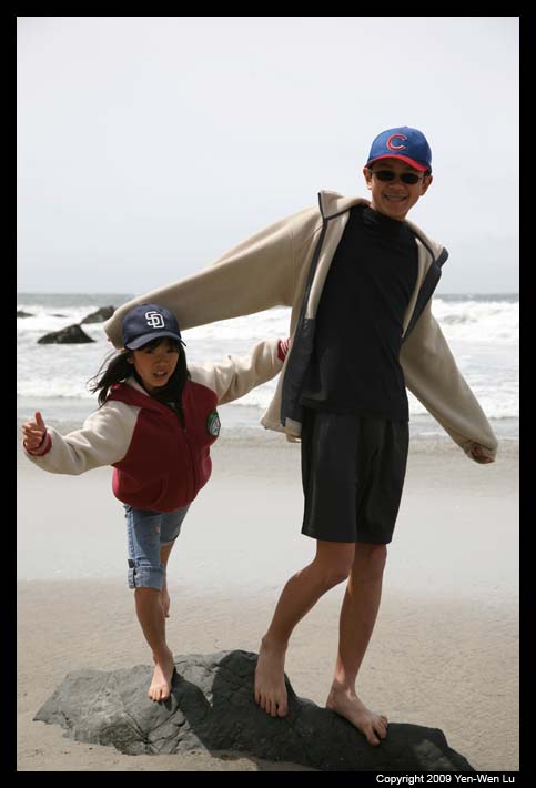
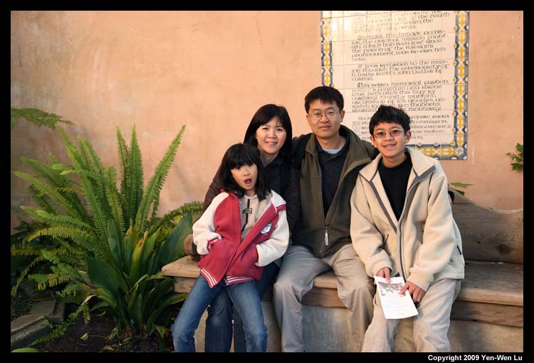
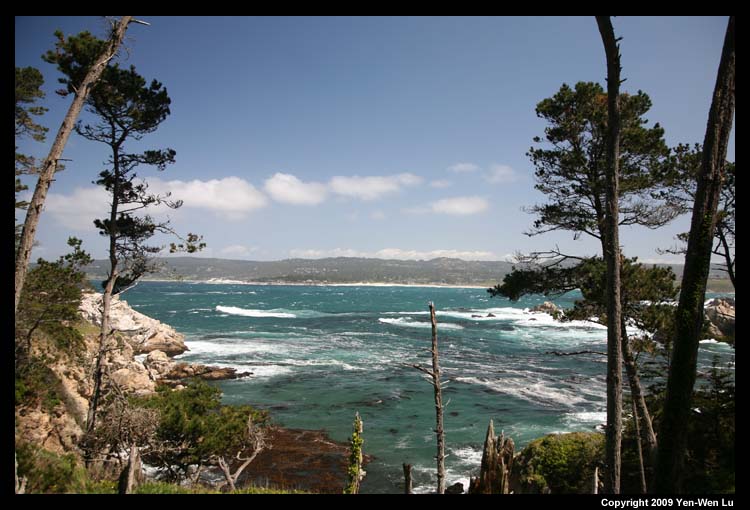
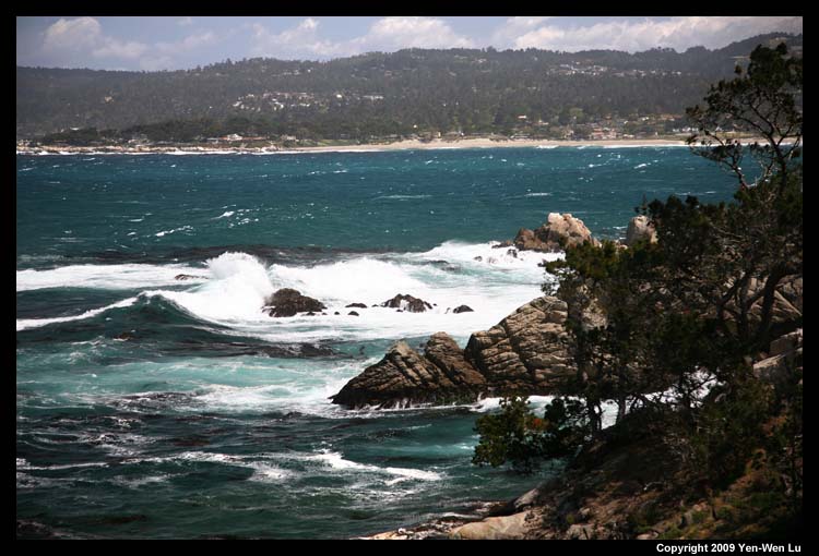
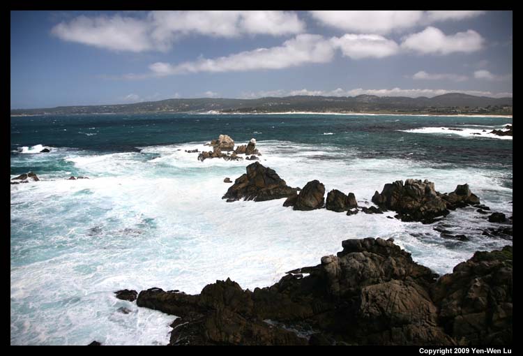
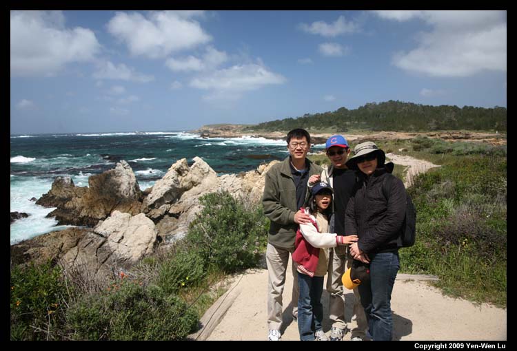
- Point Lobos
Point Lobos State Reserve contains headlands, coves and
rolling meadows, and is claimed to be "the greatest
meeting of land and water in the world". The
offshore area forms one of the richest underwater
habitats in the world popular with divers.
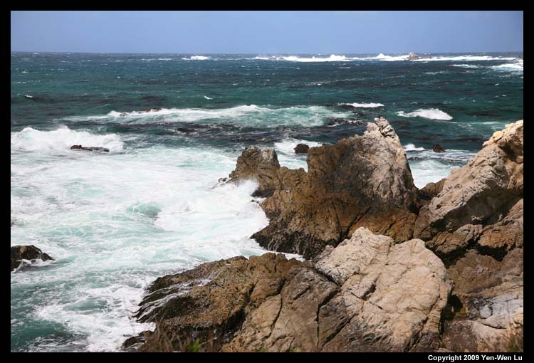
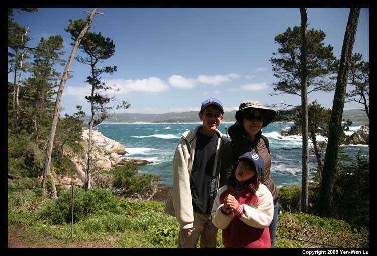
We arrived at the park at about noon, and had a picnic at
Piney Woods where the surrounding trees provide a good
shelter for the wind. We took the hike to Whaler Cove
through the woods, and we could feel the strong wind
immediately when we were closer to the coastline. Linus
and Iris wanted to get to some beach to play, so we went
to the end of the road and hiked to the Gibson Beach.
Although we did not stay there for too long because they
did not really like the sand on the beach, I still
enjoyed the view and snapped a few pictures.
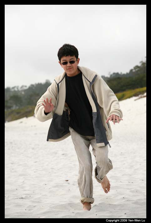
Going Home ...
On our way back home, Linus and Iris wanted to go back to
Carmel Beach again because they were not satisfied with the beach
at Point Lobos. When we got to the Carmel Beach, it was so windy
that Woanyu decided to go back to the car to wait. The wind was
blowing hard that you can see a layer of sand floating above the
ground. After a few round of "hat catching", we all
felt the pain on our skin scratched by the sand, and we had to
call it a day.
[Back to Photo Page] [Gallery]