Point Reyes
Dec. 26-27, 2002
|
Point ReyesDec. 26-27, 2002 |
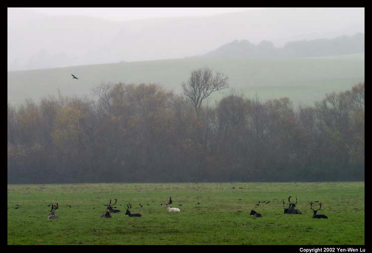
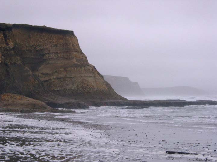
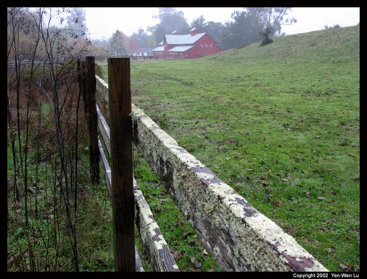
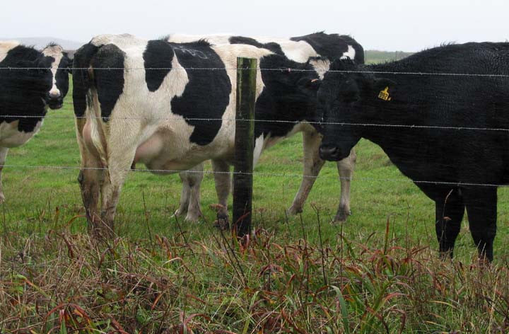
Point Reyes National Seashore is located 35 miles north of San Francisco on highway 1 along the west coast of California. The Point Reyes Peninsula rides high on the eastern edge of the Pacific Plate that travels northwestward about 2 inches a year. The narrow, linear valley separating the peninsula from the rest of the coast marks the great San Andreas Fault. From beach to cliffs, from marshland to grassland, and from the valley to forests, a diversity of animal life thrives here as well. We have visited the area serveral times before, but all of them were short one-day trips and did not go very well (car-sickness, foggy weather, and allergic to wild flowers, etc.). I'm crazy enough (or foolish enough) to arrange a multi-day trip to Point Reyes in winter for this Christmas.
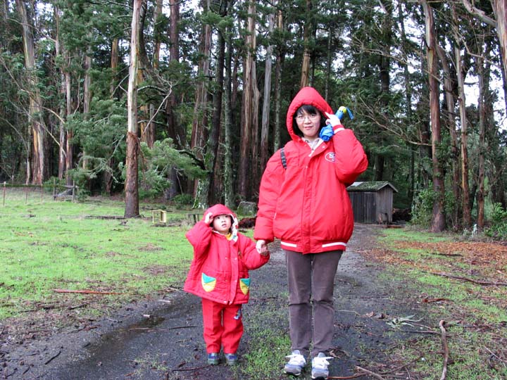
We had been worried about the weather for the whole week because the forcast was a big storm with heavy rain along the north bay. After we passed the Golden Gate Bridge, the cloud was lower and black, and it began to rain on the way. Instead of taking highway 1, we took Sir Francis Drake Boulevard from 101 to Point Reyes this time. It was a much better route than the winding highway 1. At least we did not have any one who was car sick this time.
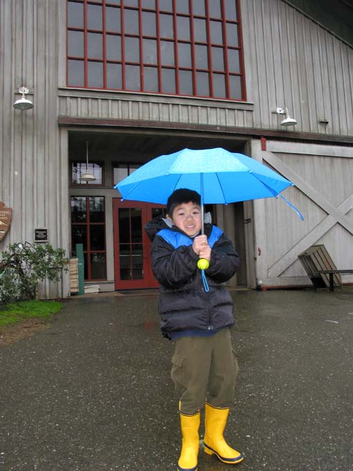 |
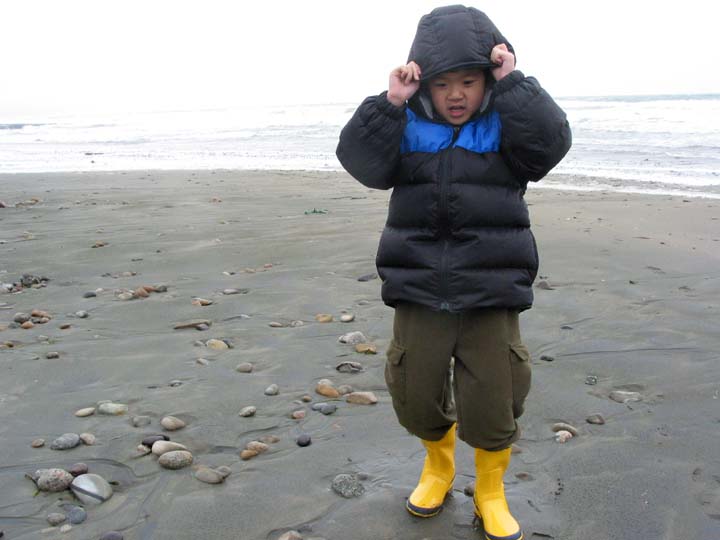
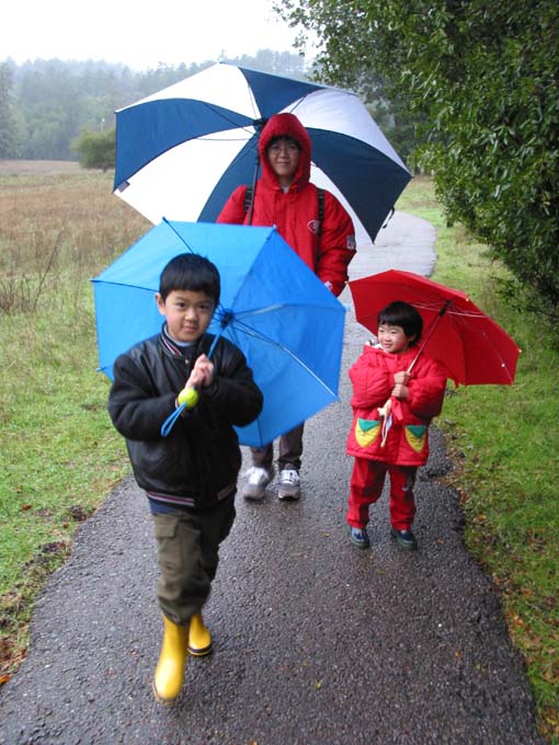
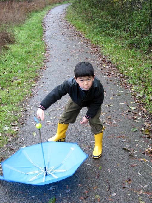
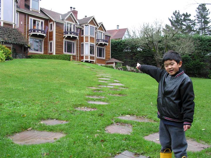
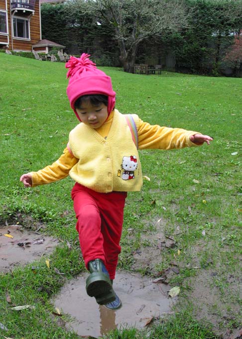
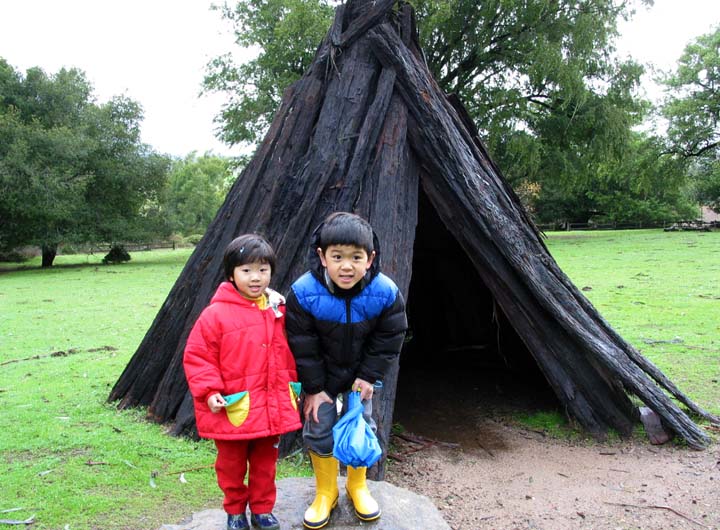
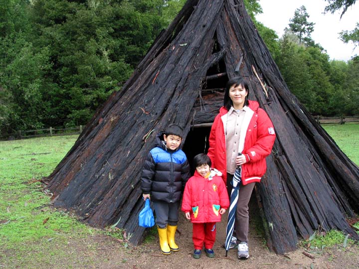
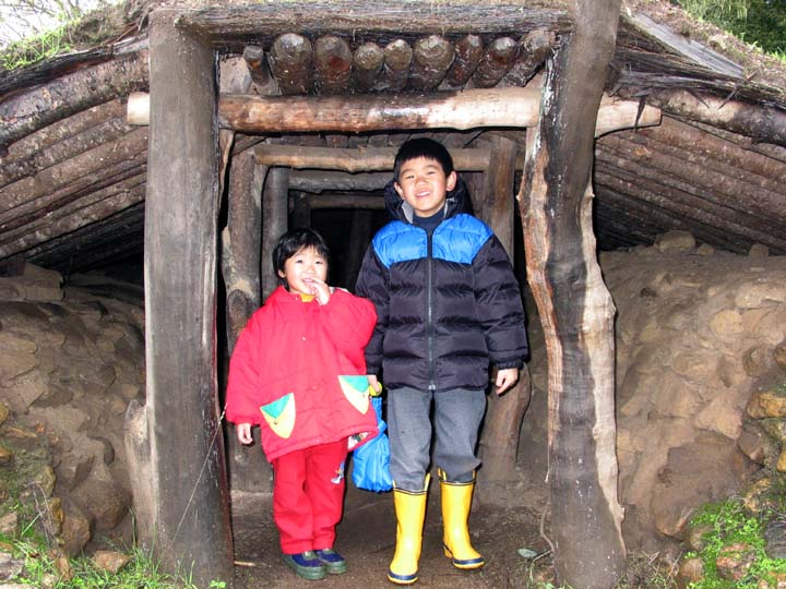
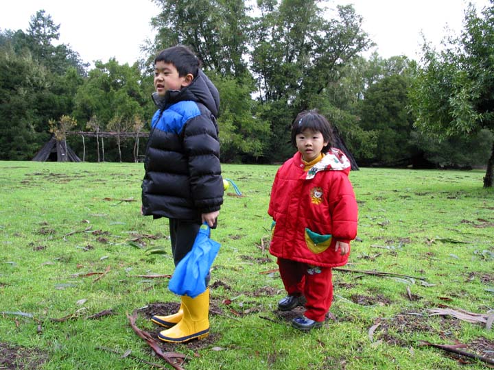
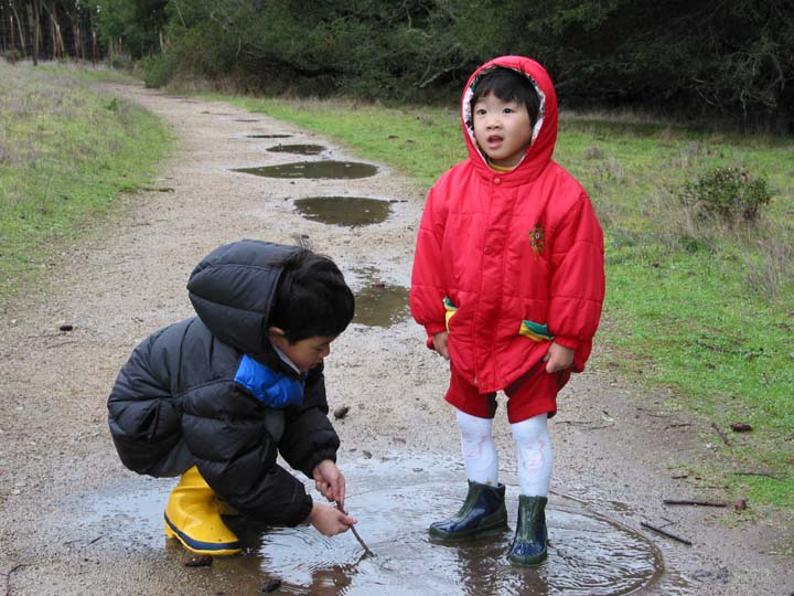
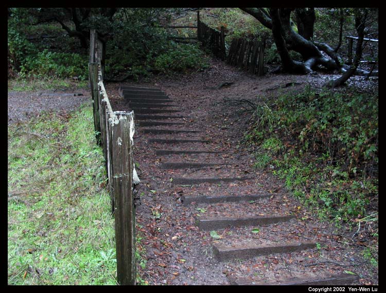
We first stopped at the Bear Valley Visitor Center at about 11:30AM after a 2-hour drive. Linus put on his new water-proof boots (which he has been tried on at home for a few days) and took his new kid umbrella, and stepped on puddles right away without any hesitation. The visitor center has many exhibitions and worth spending some time there espcially on a rainy day. | 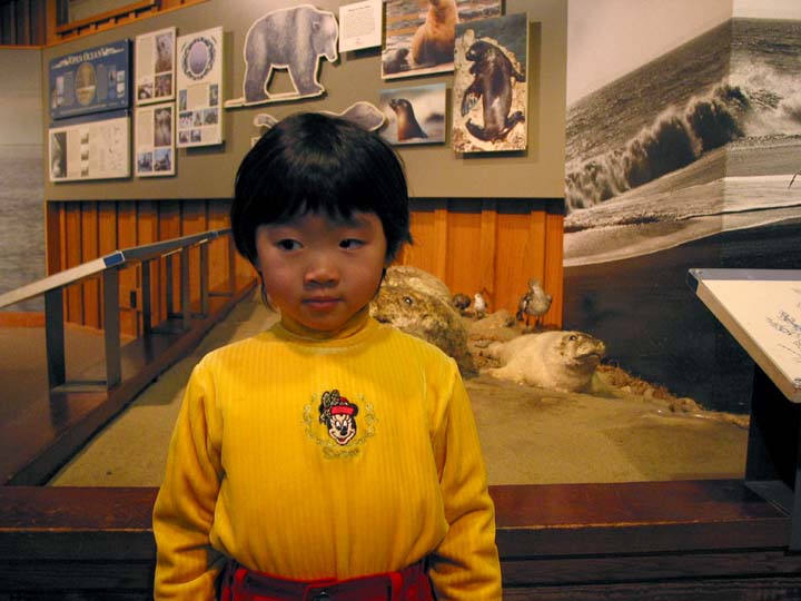 |
 |
 |
 |
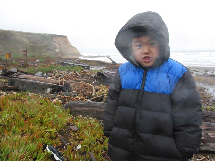
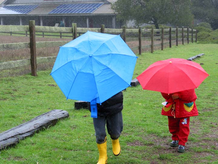
I decided to keep driving to the lighthouse to try some luck. However, the visibility close to the lighthouse area was so poor that we could not even see the ocean. The wind was even stronger there and it was raining again that we only stopped by the parking lot and headed back right away.
 |
 |
 |
 |
 |
 |
 |
 |
 |
 |
 |
 |
 |
 |
 |
 |
 |
 |
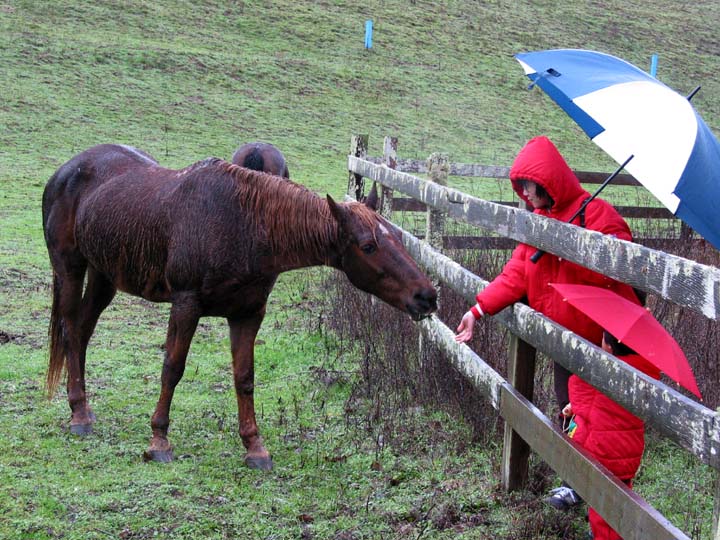
The weather was getting worse that we decided to cut our trip one day short. We cancelled our second night lodge reservation and headed home at about noon (we then had our lunch in San Francisco). In the introduction movie played in the visitor center, it says Point Reyes is the foggiest and windiest place along the California coast. We will try our luck next time, but definitely will not be in winter again.