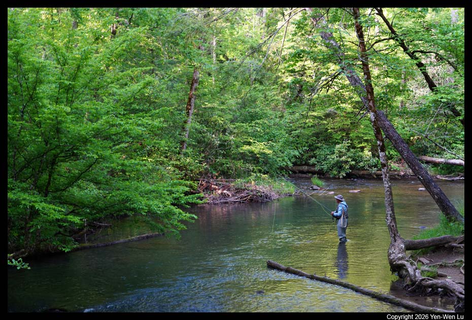
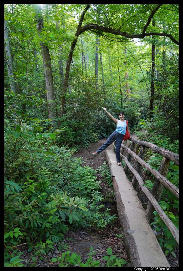
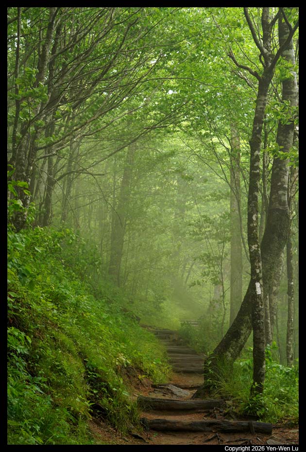
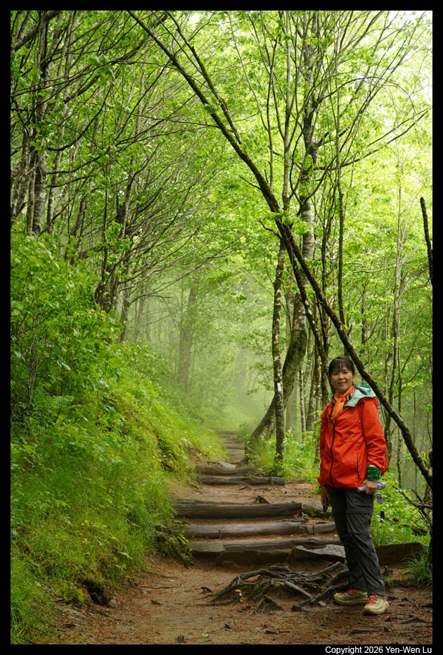
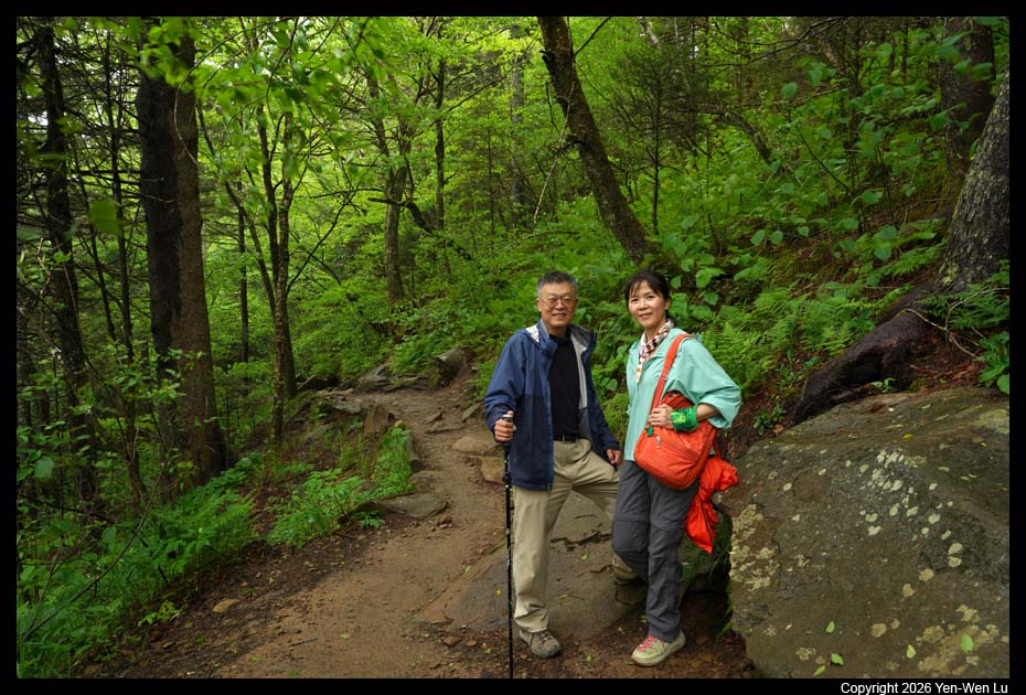
Great Smoky Mountains National Park straddles the ridgeline of the Great
Smoky Mountains, part of the Blue Ridge Mountains and part of the Appalachian
temperate rainforest. The border between the states of North
Carolina and Tennessee runs northeast to southwest through the center of the
park. The park contains some of the highest mountains in eastern North America,
including Kuwohi (6,643 feet (2,025 m)), Mount Guyot, and Mount Le Conte.
World renowned for its diversity of plant and animal life, the beauty of its
ancient mountains, and the quality of its remnants of Southern Appalachian
mountain culture, this is America's most visited national park (over 12 million
visitors in 2024).
Getting there ...
We flew from Chicago (after
Iris's wedding) at 7:15AM to
Asheville (AVL @ 10AM), NC. We got our rental and had a quick
drive-through at a McDonald's, and we were in the Great Smoky Mountains around
noon.
Day 1 (5/18) ...
- Blue Ridge Parkway
The Blue Ridge Parkway is a scenic 469-mile motor
road connecting Shenandoah National Park (Virginia) to Great Smoky Mountains
National Park (North Carolina). Known as "America's Favorite Drive", it is
the longest linear park in the U.S. and features breathtaking mountain
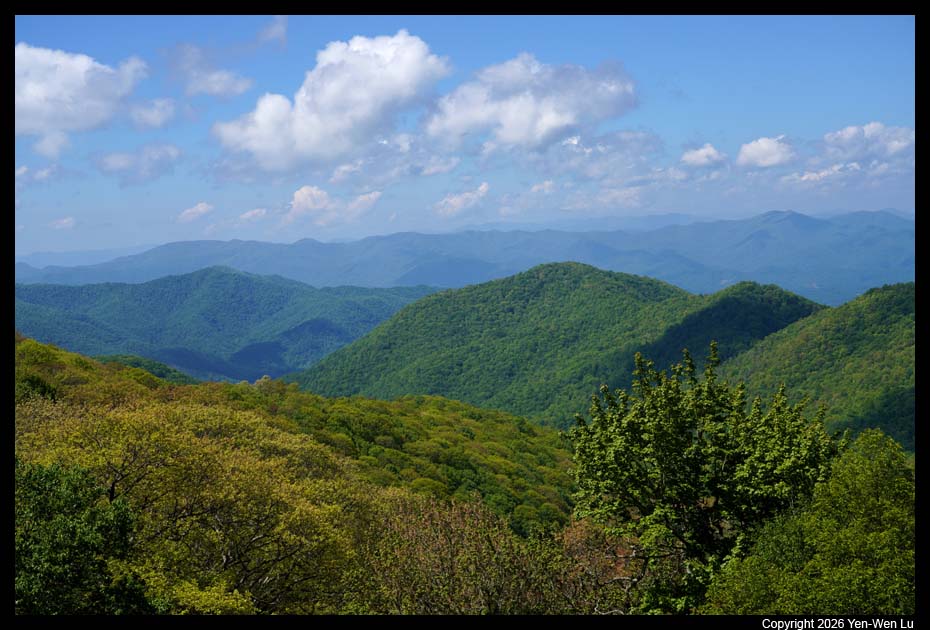
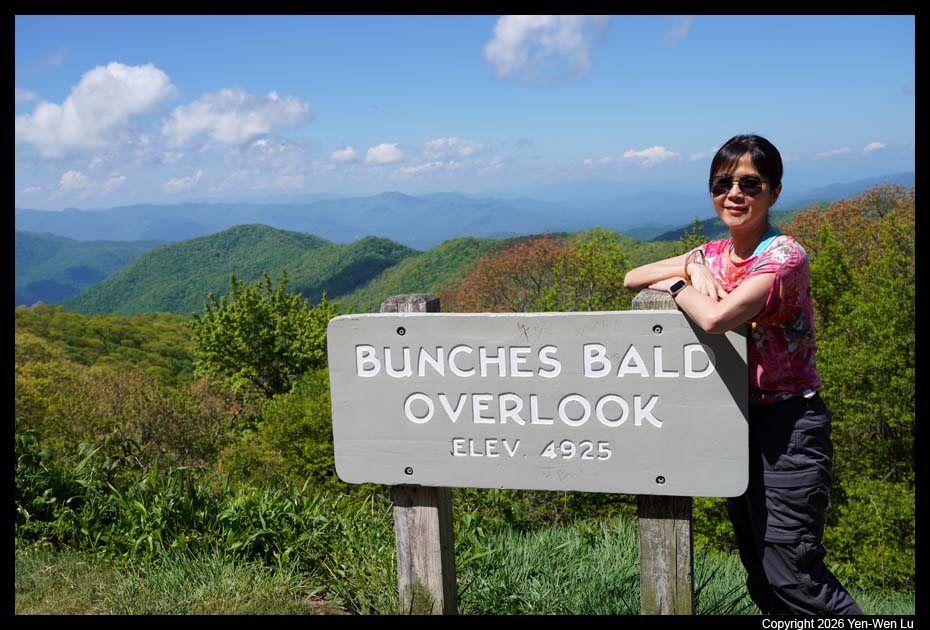
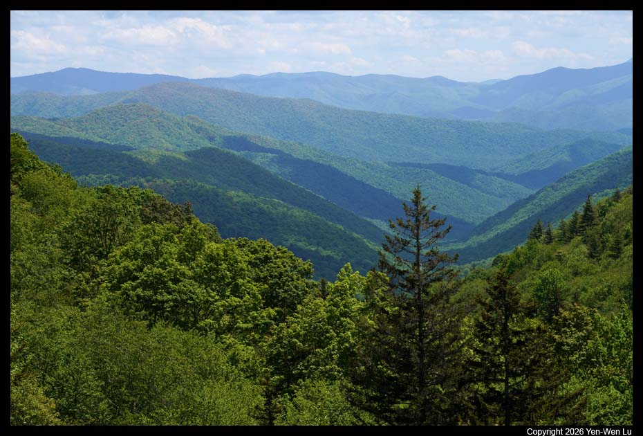
vistas and hiking trails. We entered the Great Smoky Mountains
National Park via the Blue Ridge Parkway (the westernmost 15 miles), and
stopped by a few viewpoints along the parkway.
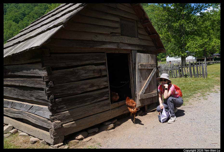
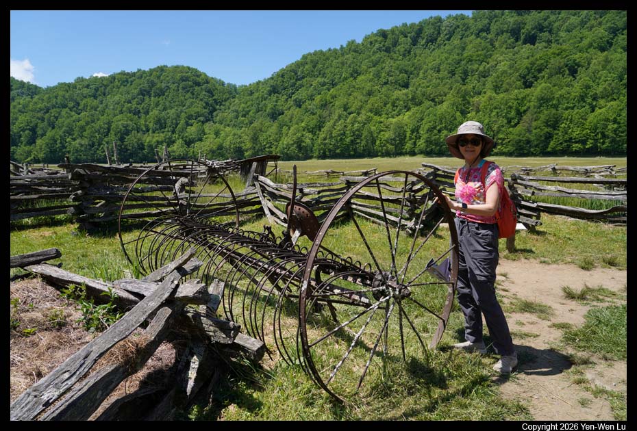
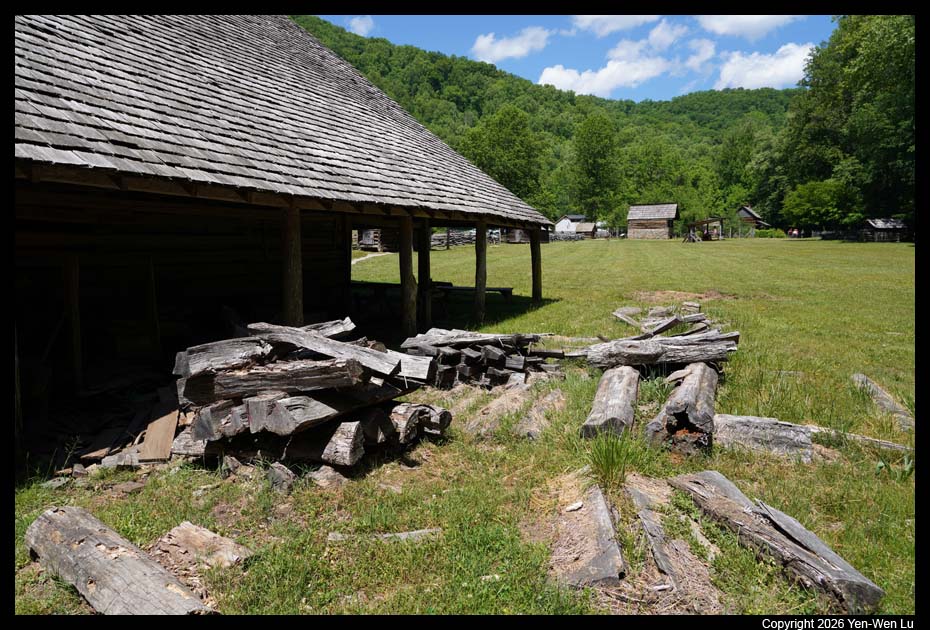
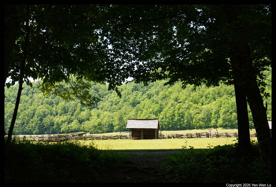
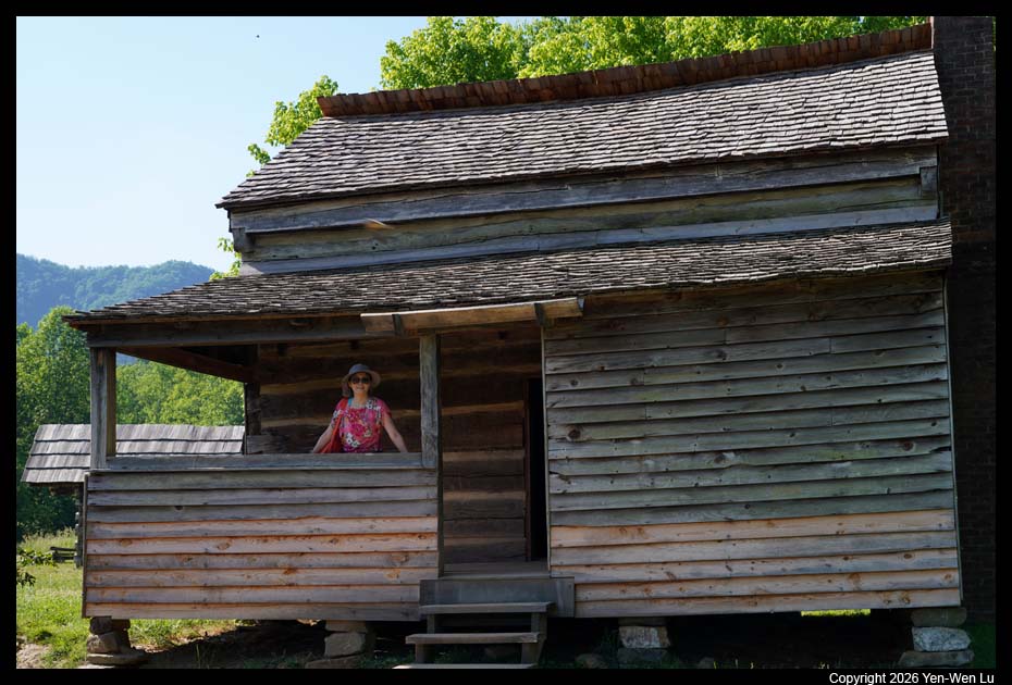
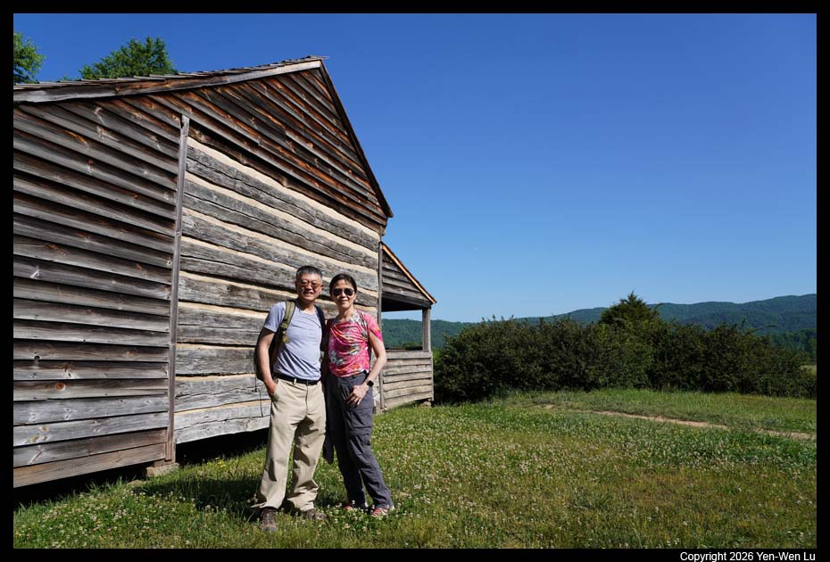
- Oconaluftee & Mountain Farm Museum
Oconaluftee is the southern
gateway to the Smokies. The nearby Mountain Farm Museum is a
unique collection of historic farm buildings that showcases what life was
like in a typical rural Appalachian community over a century ago.
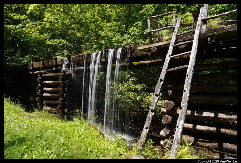
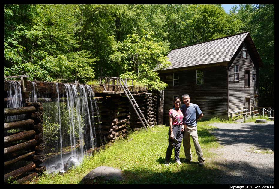
- Mingus Mill
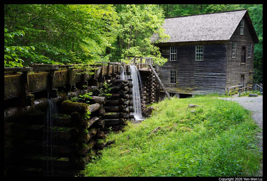
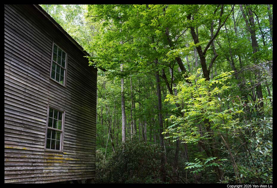
Built in 1886, Mingus Mill is a historic 19th-century
gristmill with a functioning water-powered turbine. The mill interior
is temporarily closed for preservation and rehabilitation work, but visitors
can still walk around the outside. At the far end of the mill,
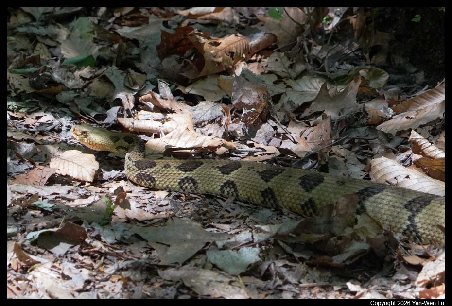
we saw a timber rattlesnake,
one of the only two venomous snakes in the park (of the 23 snake species
found in the park, only two are venomous: the northern copperhead and the
timber rattlesnake).
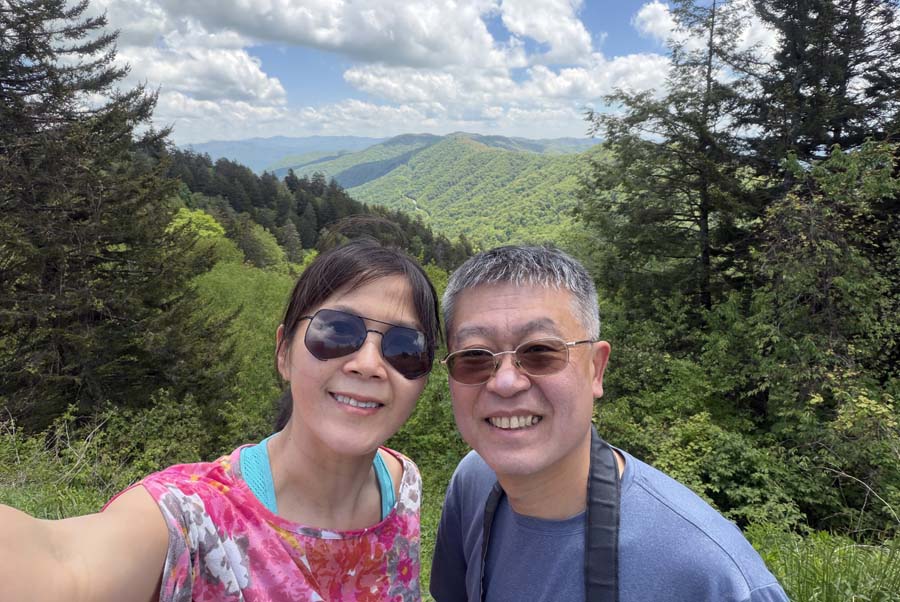
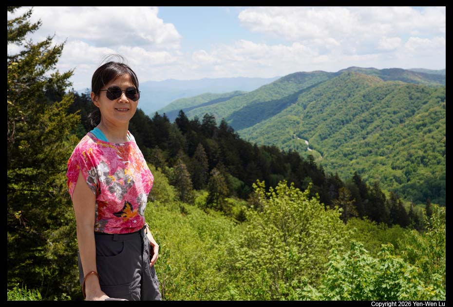
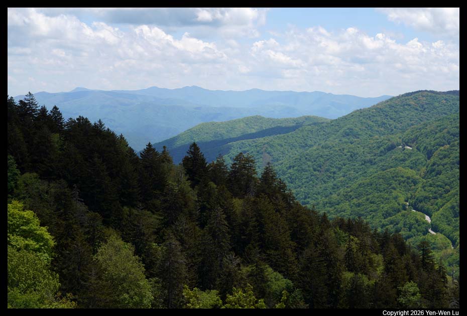
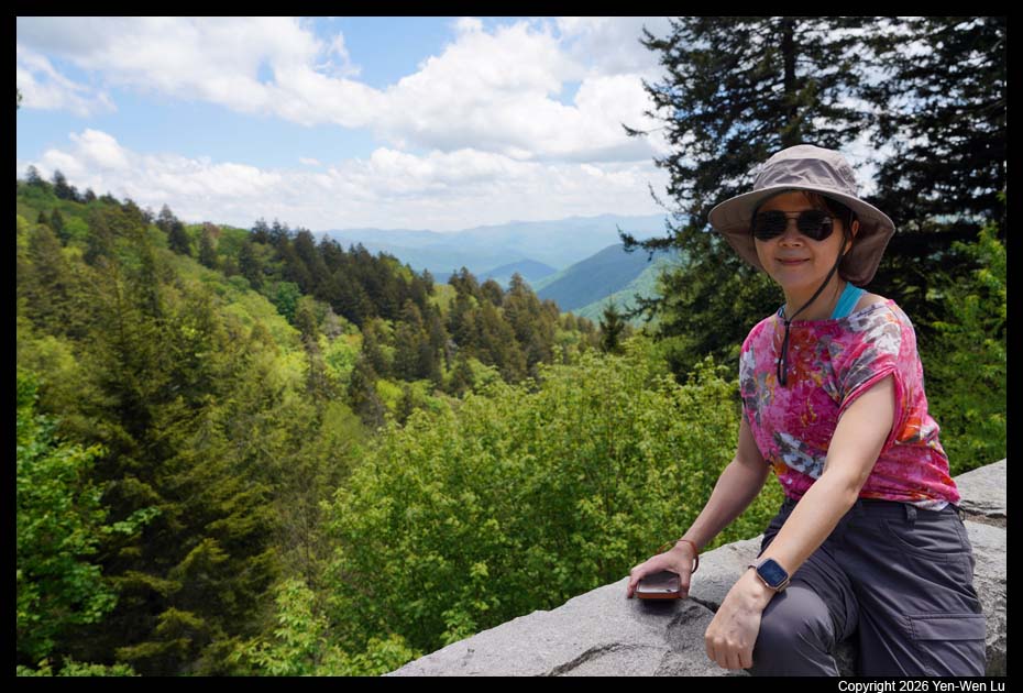
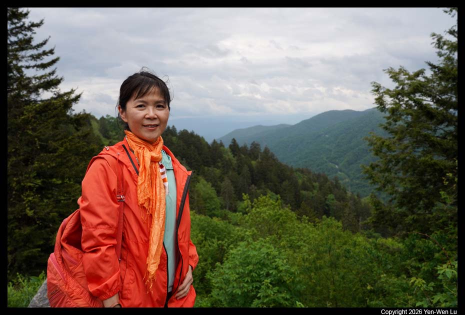
- Luftee & Newfound Gap
We continued to drive north along the US441 and
stopped by Luftee and Newfound Gap vista points.
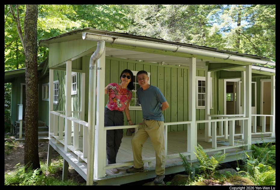
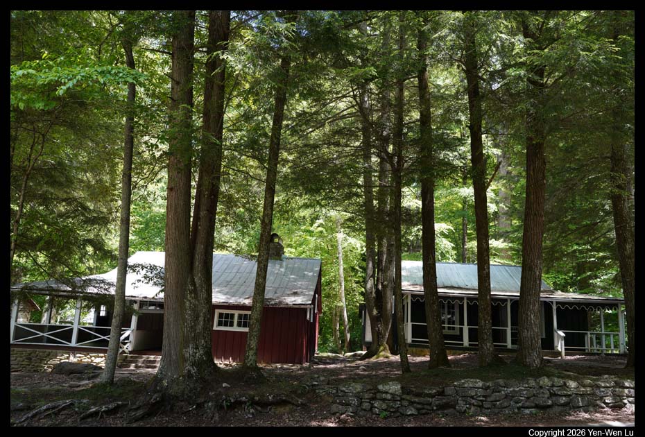
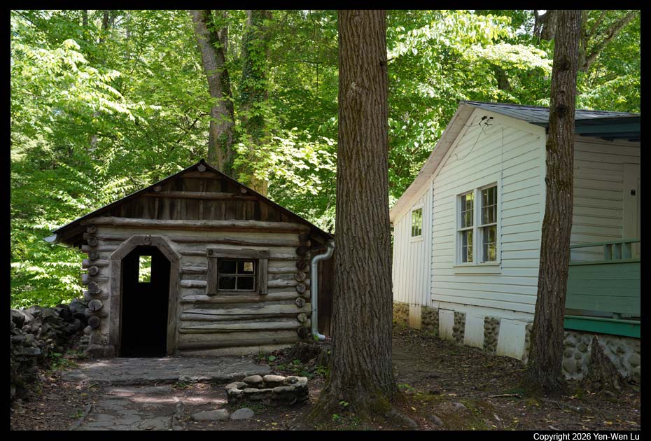
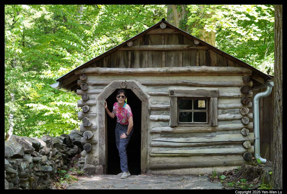
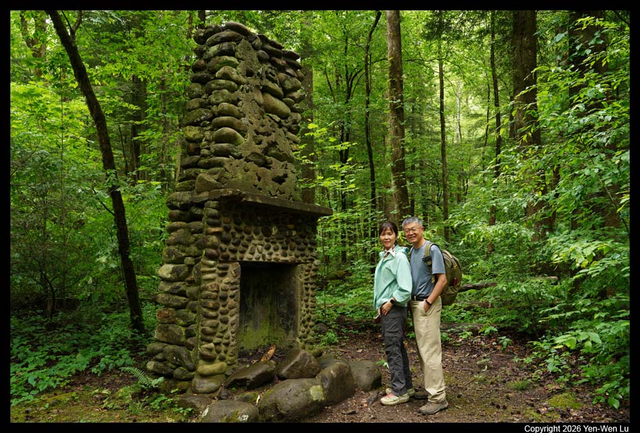
- Elkmont Historical District
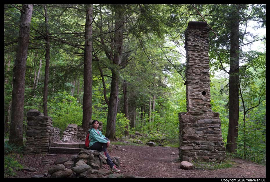
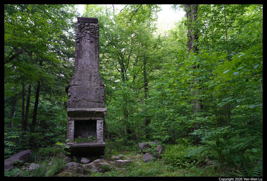
Elkmont is a region situated in the upper
Little River valley of the Great Smoky Mountains. The Little
River Lumber Company established the town of Elkmont in 1908 as a base for
its logging operations. Upon the creation of the national park
in the 1930s, most of Elkmont's cottage owners were given lifetime leases
(and later converted to 20-year leases). In 2009, the National Park
Service announced plans to restore the Appalachian Clubhouse and 18 cottages
and outbuildings in the Appalachian Club area (which were older and more
historically significant) and remove all other structures.
- Elkmont
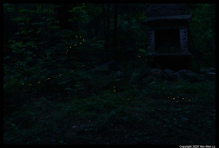
After dinner, we went back to the Elkmont area to see
synchronous
fireflies. The mating season for synchronous fireflies lasts
approximately two to three weeks each year from late May to early June.
Although the synchronous behavior is not yet fully understood, one theory
suggests that males flash in unison to elicit a call-and-response
interaction from the females. A study found that female fireflies of this
species only respond when an adequate amount of flashing is presented to
them. This year the NPS host its annual synchronous
firefly event at Elkmont from May 20-27 with a lottery system to limit
access to the Elkmont area during the eight-day period of predicted peak
firefly activity to control the crowds. We decided to come today
(5/18) before the access control took place (we did not enter the lottery
because the uncertainty of the dates may conflict with Iris's wedding).
We started to see individual flashing fireflies after sunset at 8:30PM.
After 9PM, we could start to see a small number of fireflies around the
riverbed. We waited till about 9:45PM, but we did not really see
any large amount of fireflies flash synchronously...
Day 2 (5/19) ...
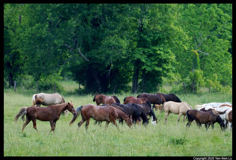
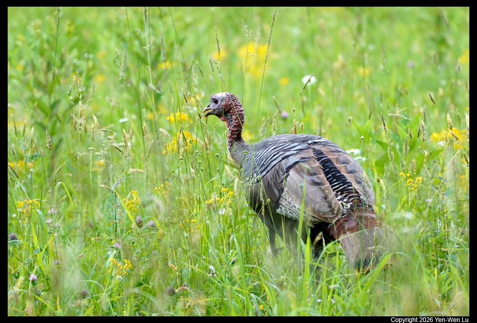
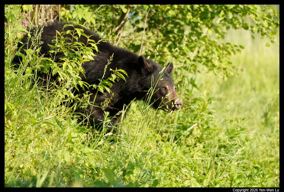
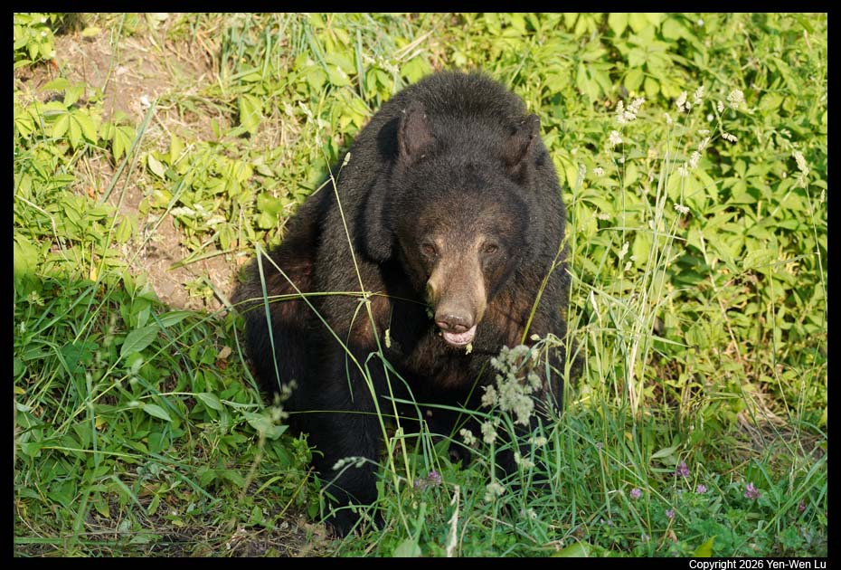
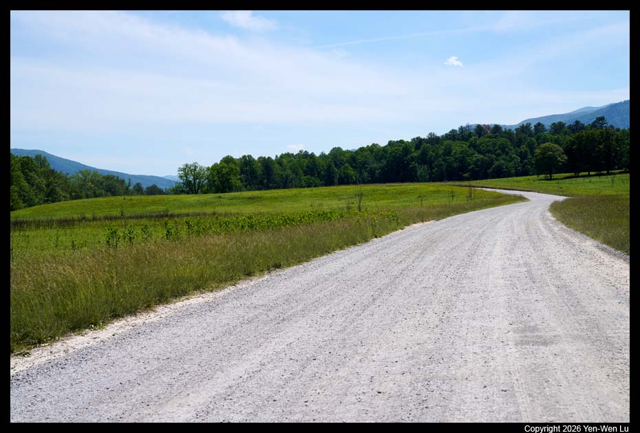
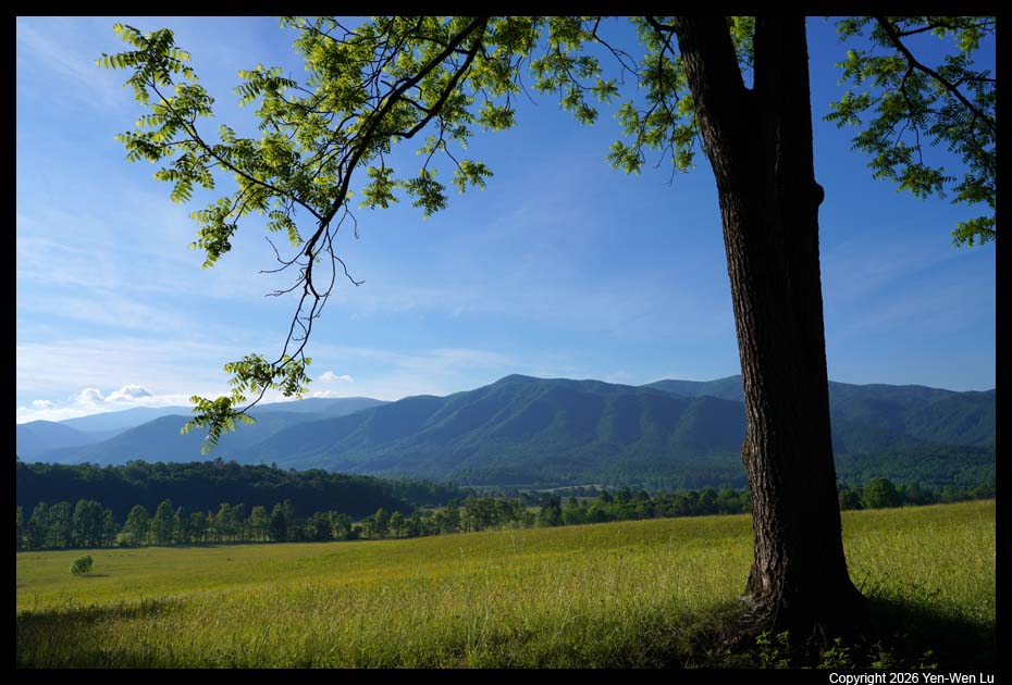
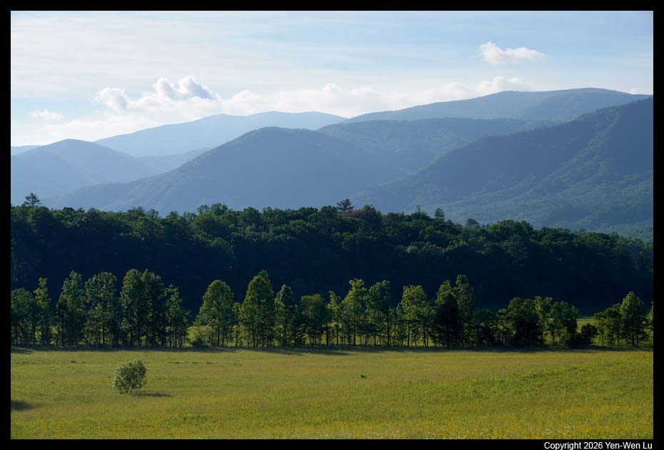
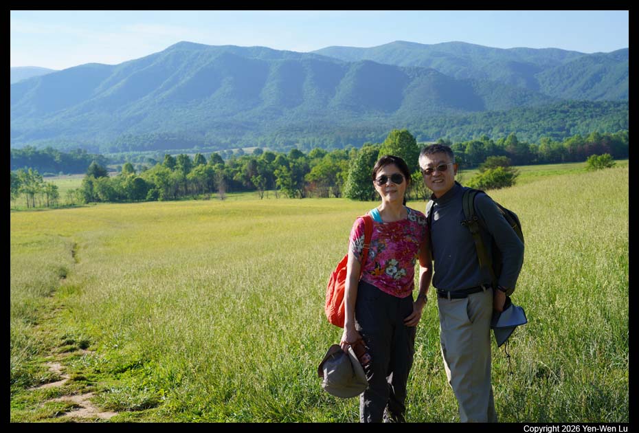
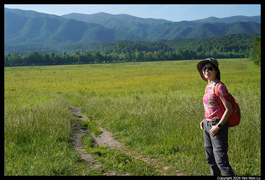
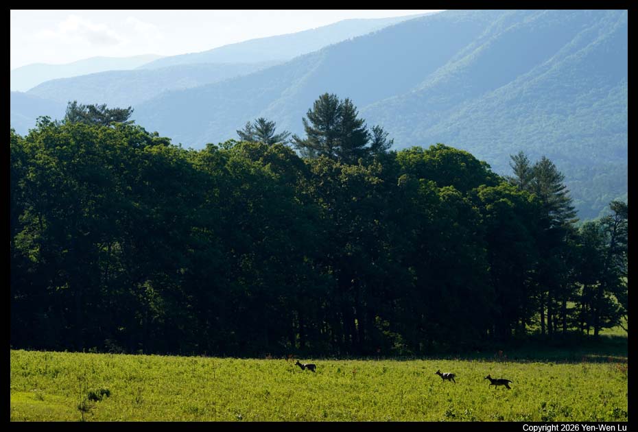
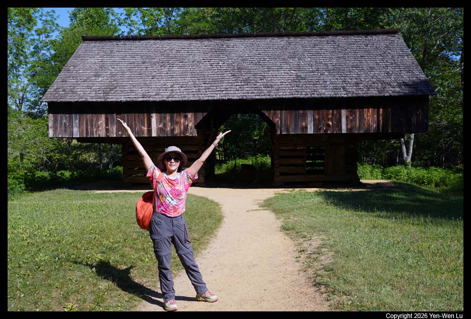
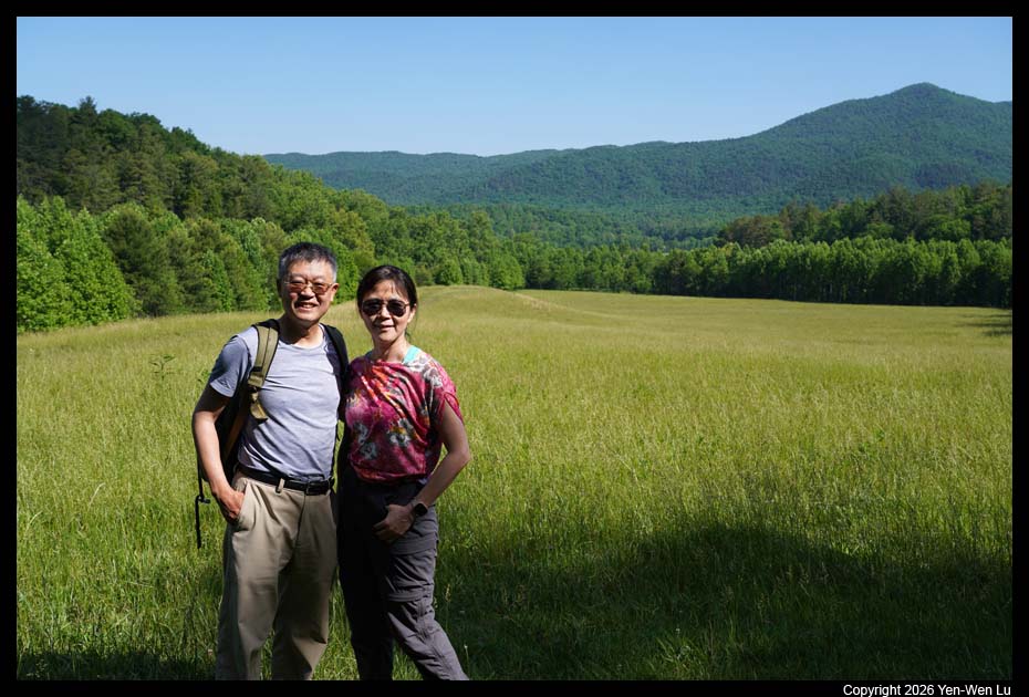
- Cades Cove
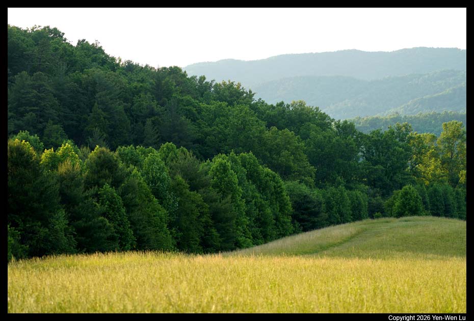
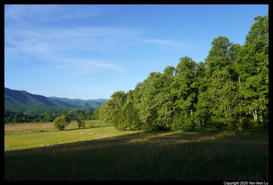
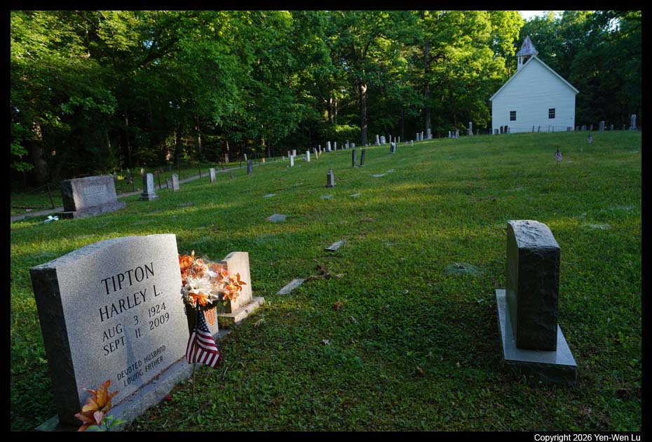
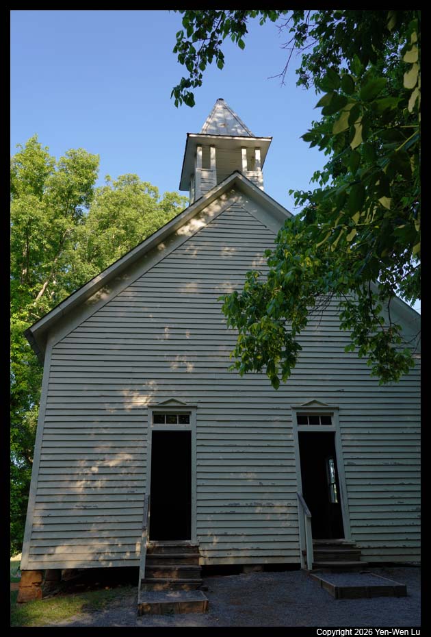
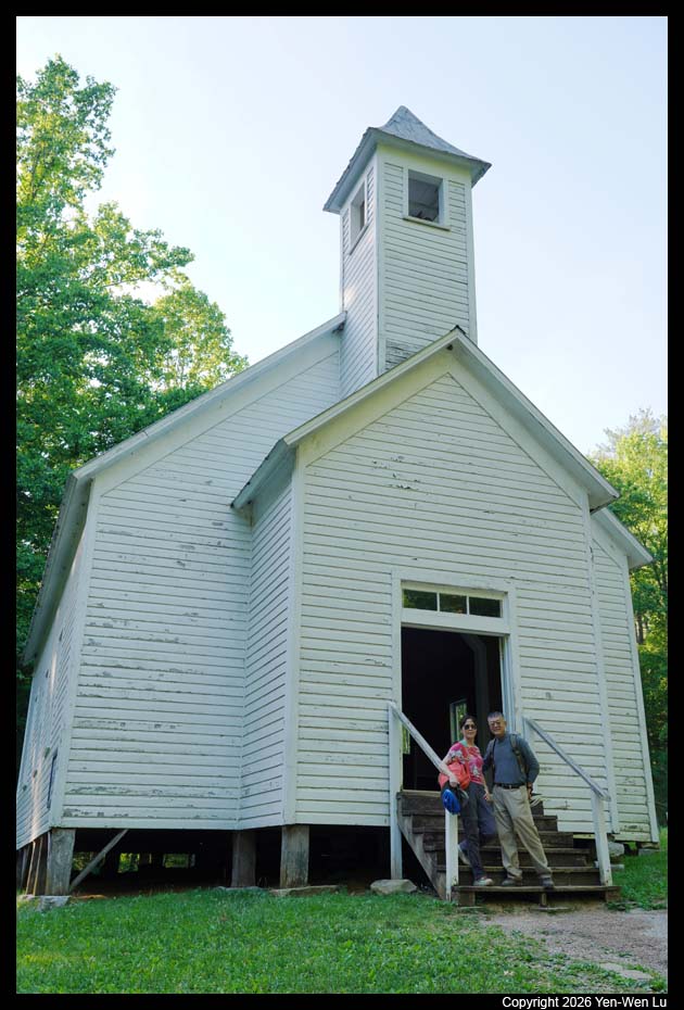
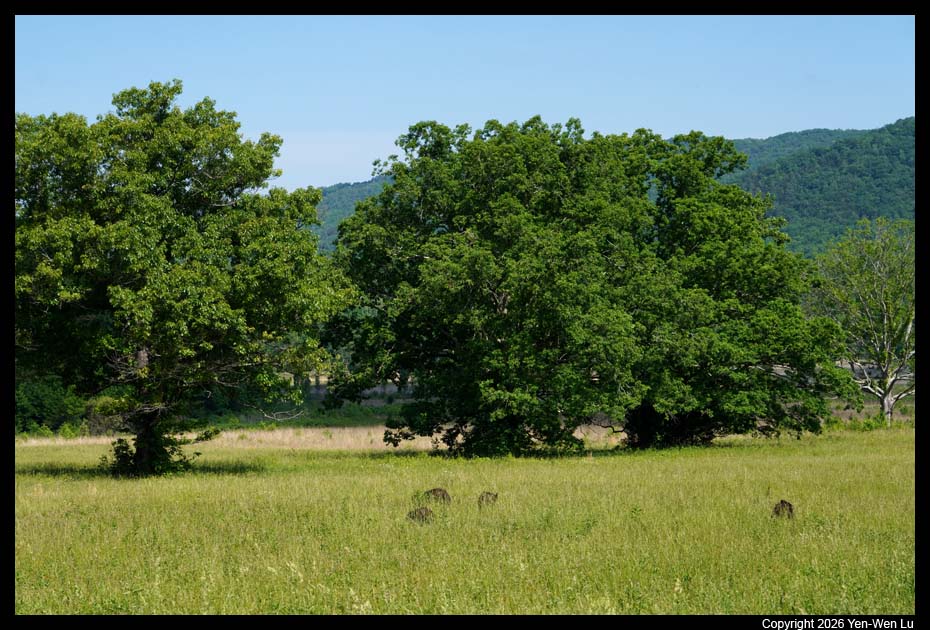
Cades Cove is a scenic valley surrounded on all sides by
mountains south of Townsend. A popular 11-mile one-way loop road
encircling the valley provides access to hiking trails, opportunities for
wildlife viewing, and chances to explore the many historic home sites,
cemeteries, and churches.
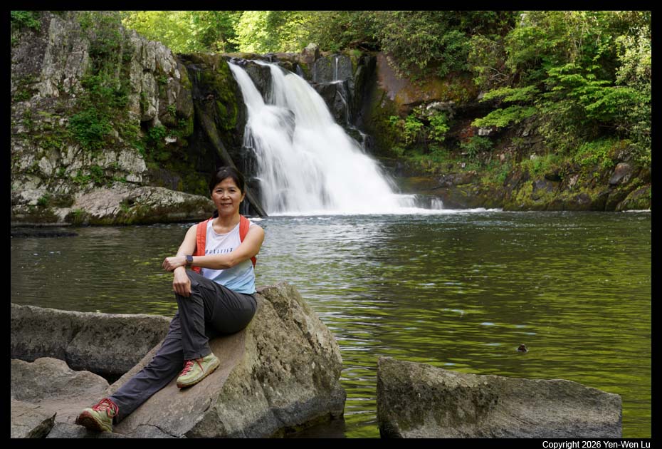
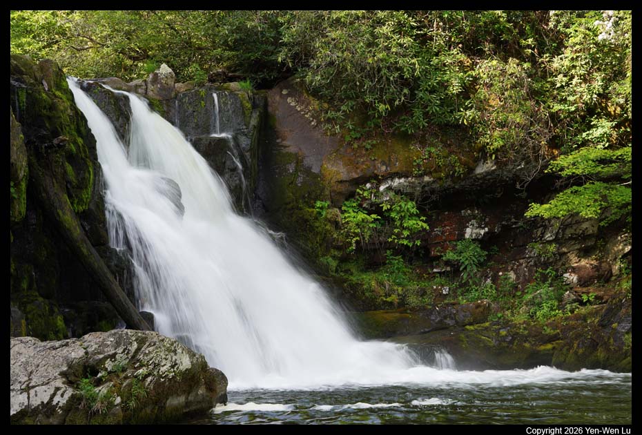
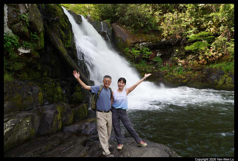
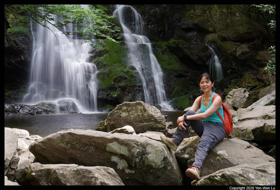
- Abrams Falls
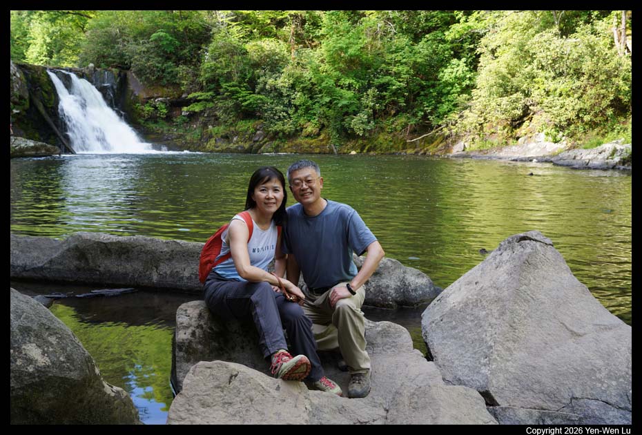
After driving roughly halfway around the one-way Cades
Cove Loop Road, we reached at the Abrams Falls Trailhead at the end of
Abrams Falls Road. It was a moderate 5-mile (8 km) round-trip hike
through rhododendron, hemlock, and pine-oak forest to a 25-foot
(7.6-m) waterfall that flows over a ledge of sandstone into a deep,
picturesque pool. We had our favorite instant rice bowls (Onishi
Onigiri) at the waterfalls for our lunch picnic.
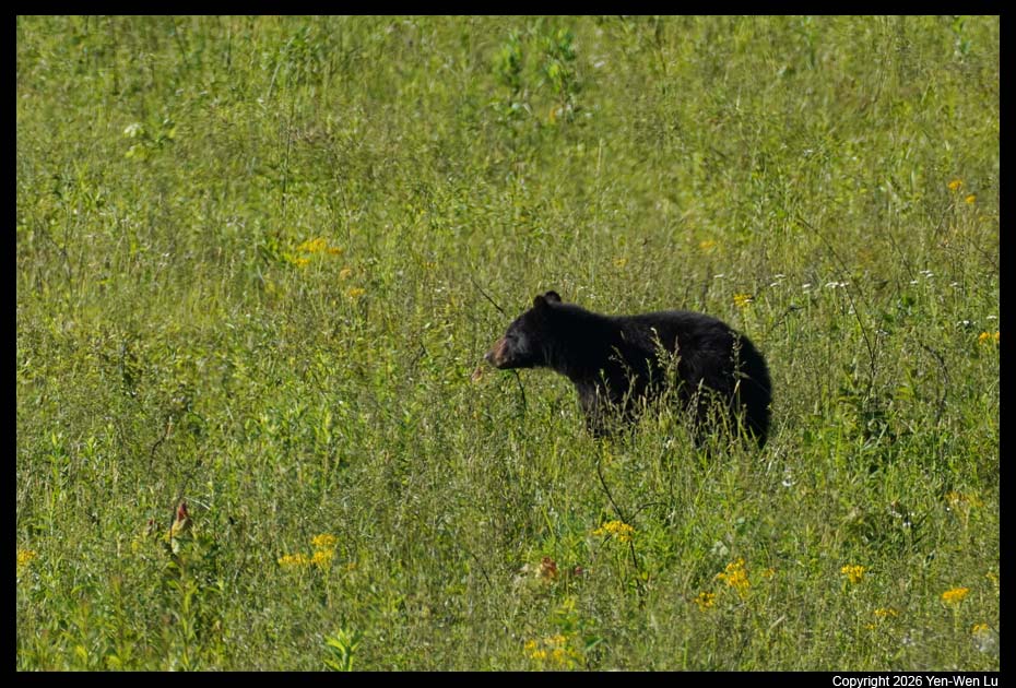
- Cades Cove
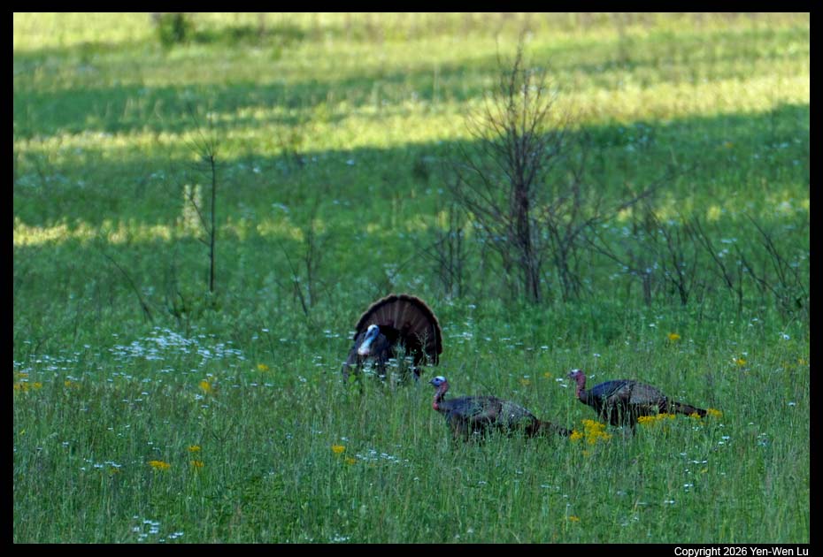
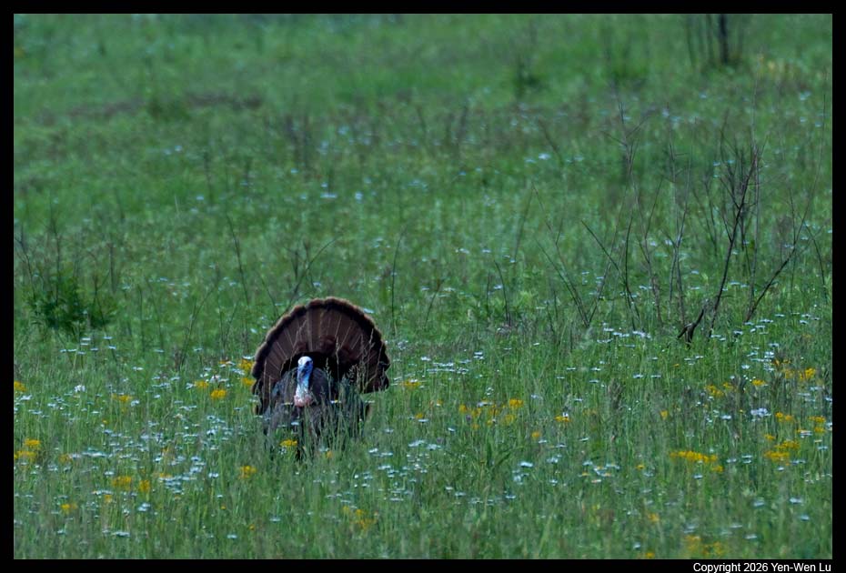
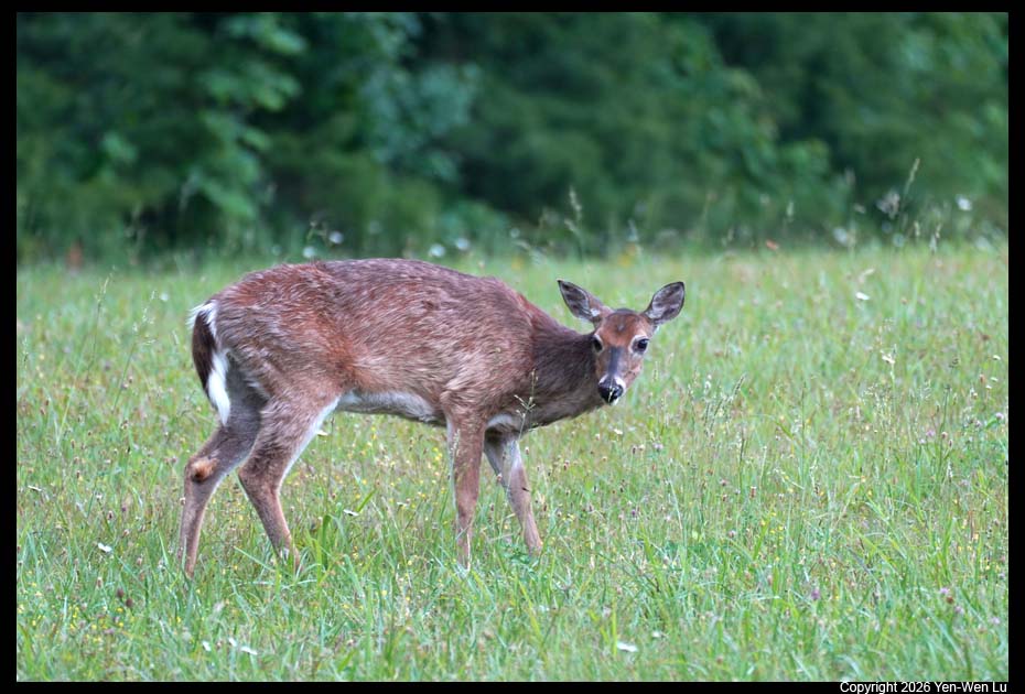
We had a relaxed break in our cabin in the afternoon to
avoid the heat (~90F). After dinner in the town, we went back to Cades
Cove to drive the scenic loop again in the late afternoon to search for more
wildlife.
Day 3 (5/20) ...
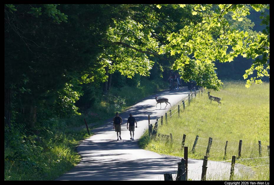
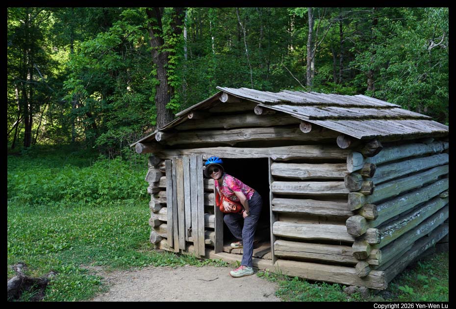
- Cades Cove
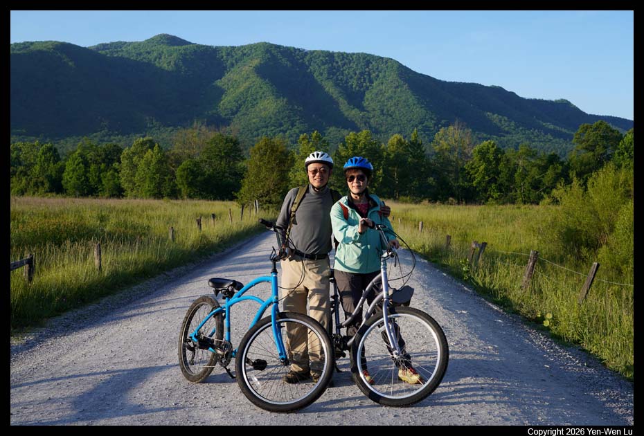
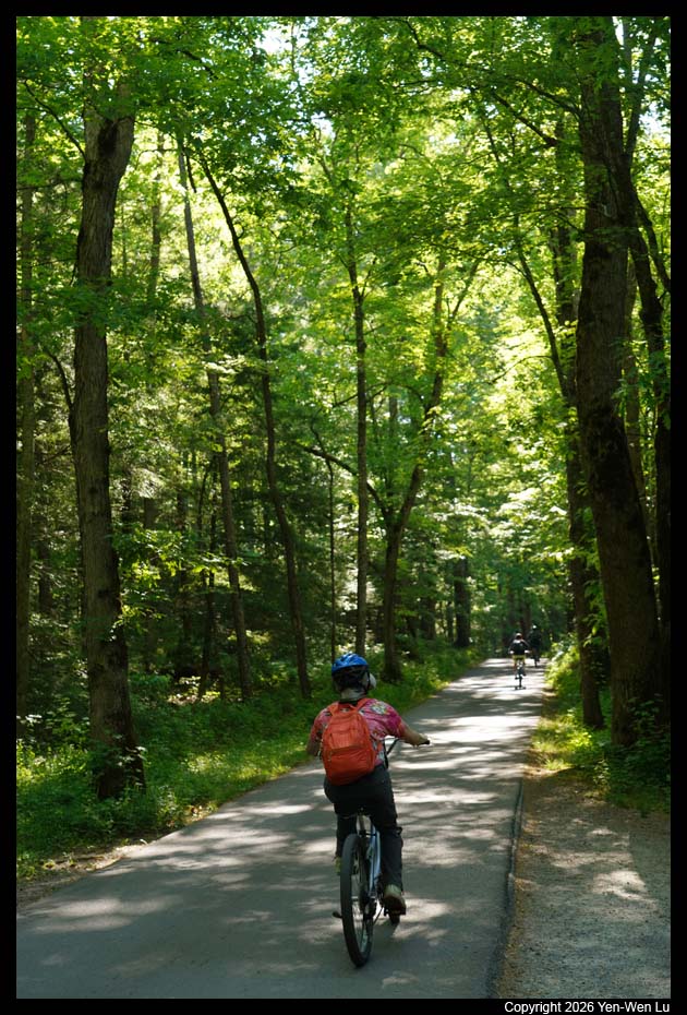
From May to September (May 6 - September 30 in 2026),
Cades Cove Loop Road is motor vehicle-free all day on Wednesdays to provide
opportunities for pedestrians and cyclists to experience Cades Cove without
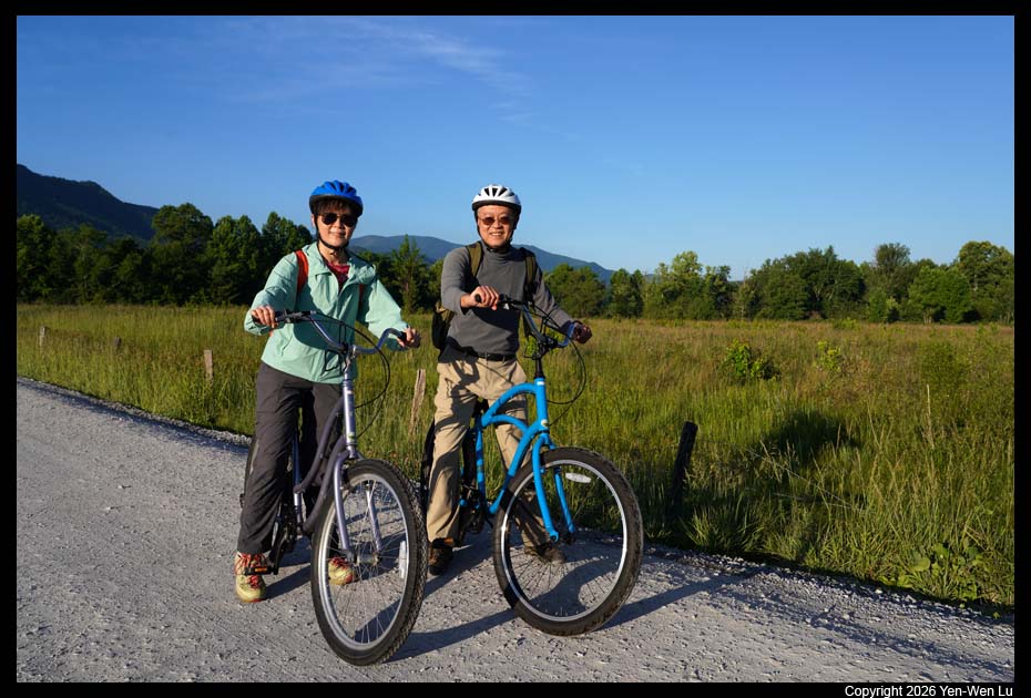
motor vehicles. We rented bikes at the Cades Cove campground.
When we showed up at 6:40AM (the rental started at 7AM), there were about 20
people waiting in a line, but we were the only ones who had made a
reservation in advance, and we were the first ones to get our bikes :-)
Riding a bike along the Cades Cove Loop Road was easy
with mostly flat and occasionally gentle downhill/uphill terrain (we did walk
our bikes a few times in some longer uphill sections, but we did not feel any
stress at all). There are a few downhill sections with steep curves and it
is required (or recommended) to walk your bikes in these sections. It was
really a fun and relaxed experience to ride a bike on the car-free day:
you control your own speed without worry any other people, you can stop at
anywhere at anytime (as long as you don not block other bikers), and you can
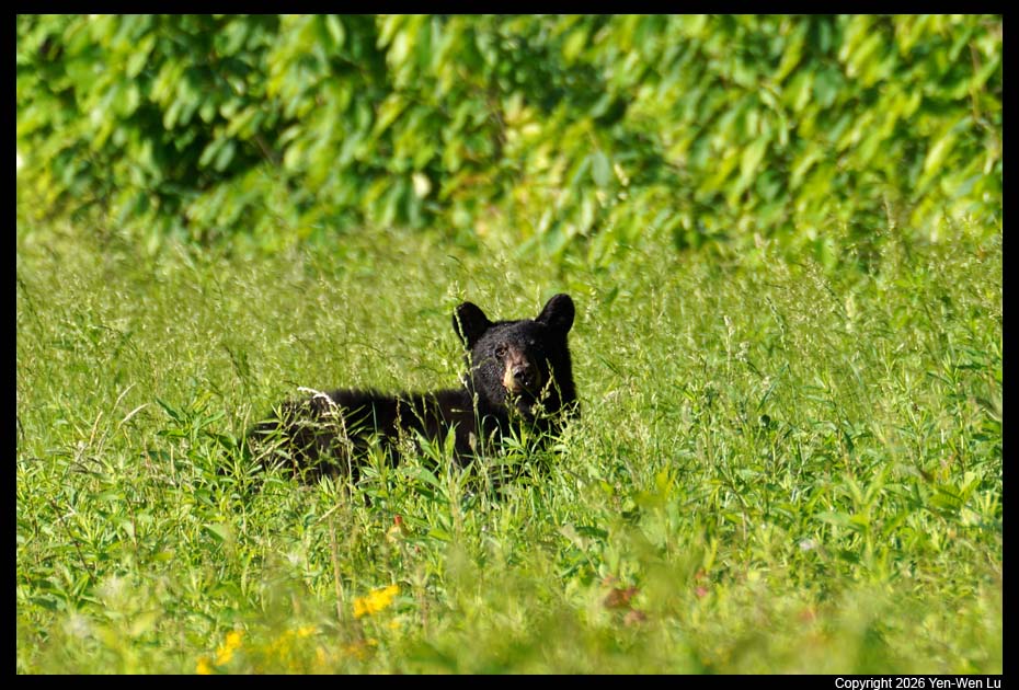
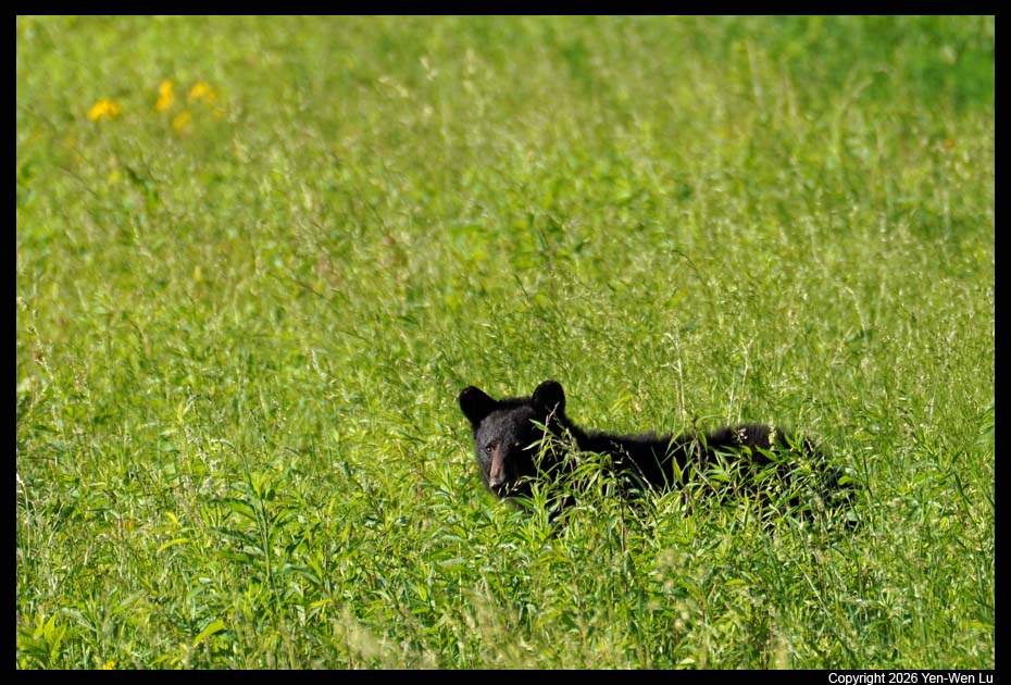
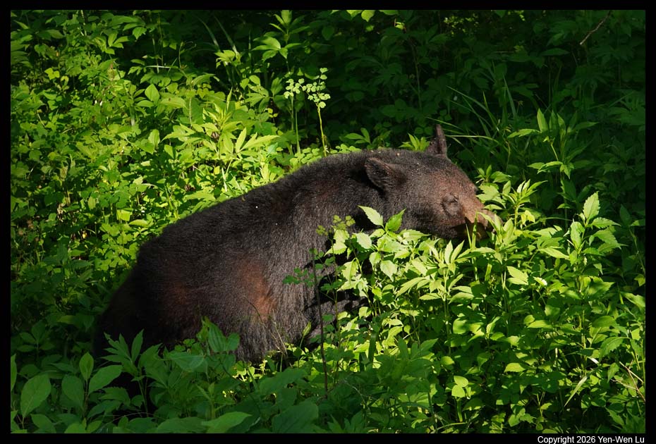
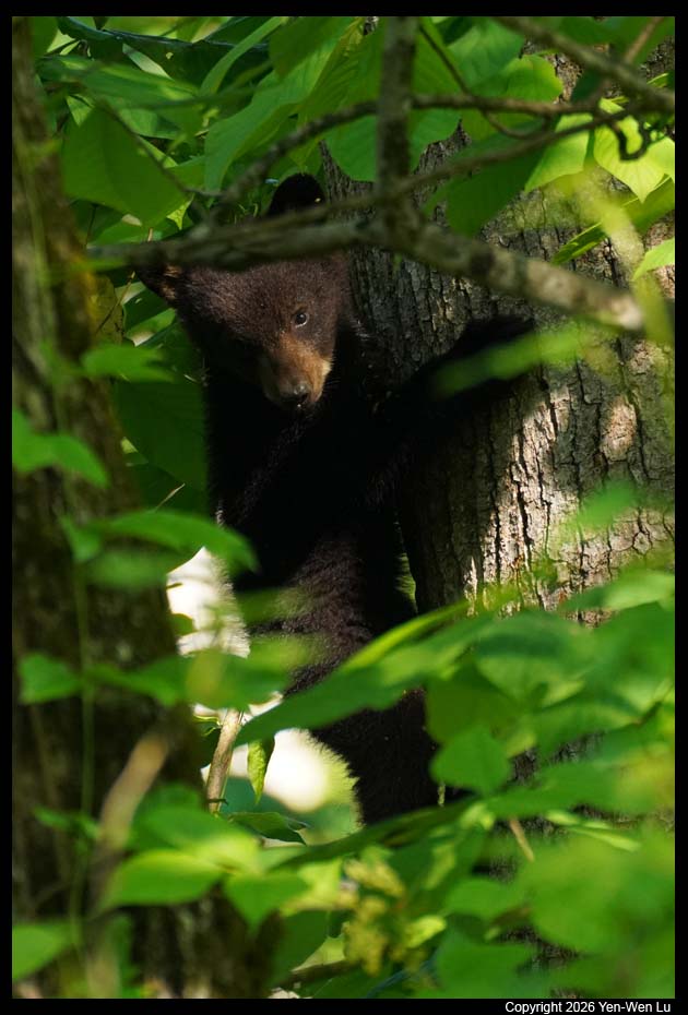
easily spot wild animals and stop immediately or join others to view the
animals.
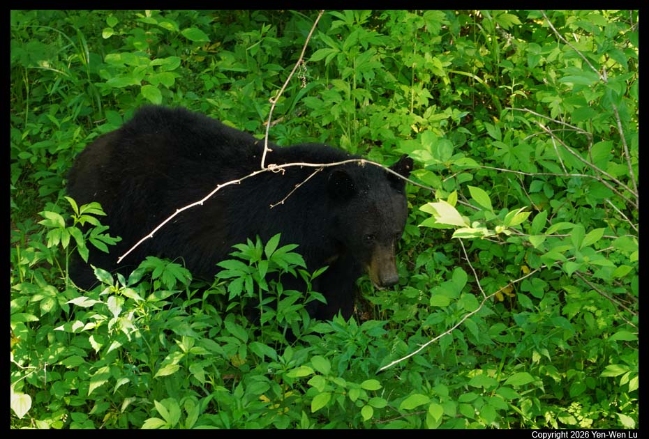
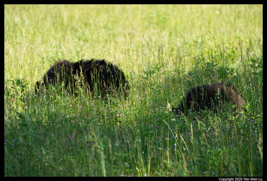
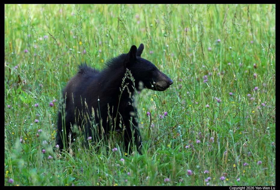
After stopped at a bridge to see bears, Woanyu found her
bike was gone (someone took her bike...). We waited for a while and we
decided to take another bike which seems belong to the person taking Waonyu's
bike...
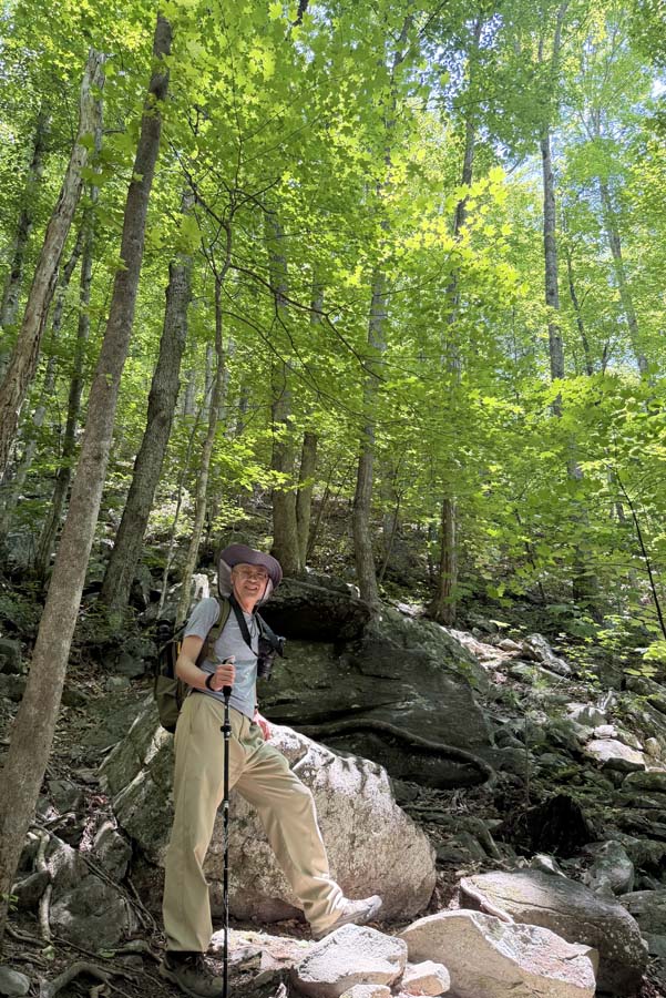
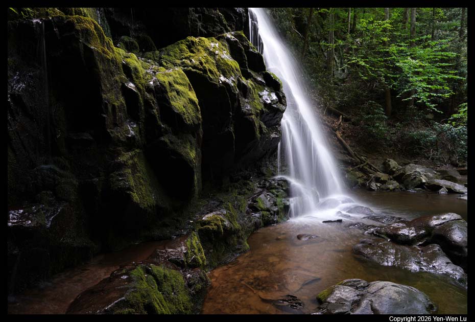
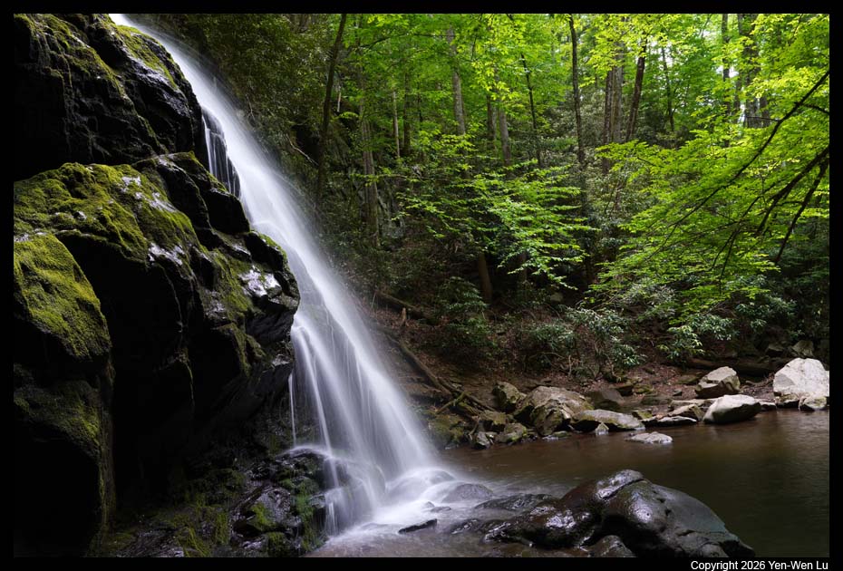
- Spruce Flats Falls
After a hot dog lunch at the campground, we drove
to the Spruce Flats Falls trailhead. However, both Woanyu and I were
very sleepy so we decided to take a nap in the car for about 20 min before
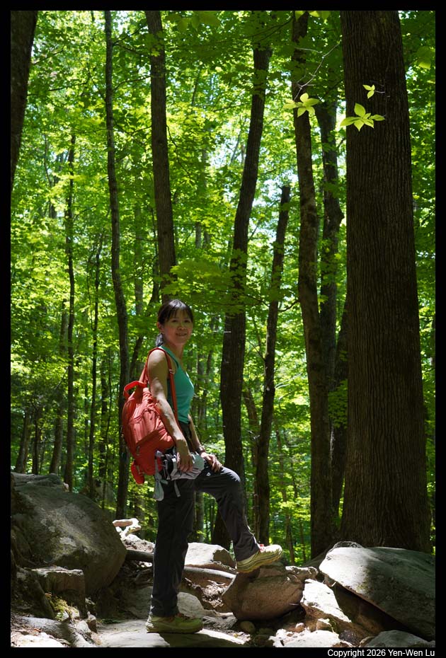
we started to take the hike. The hike is only 1.7-mile round-trip with 430ft
elevation gain, but it has some steep, rugged, rocky sections that may
require some climbing and it was more challenging than we expected.
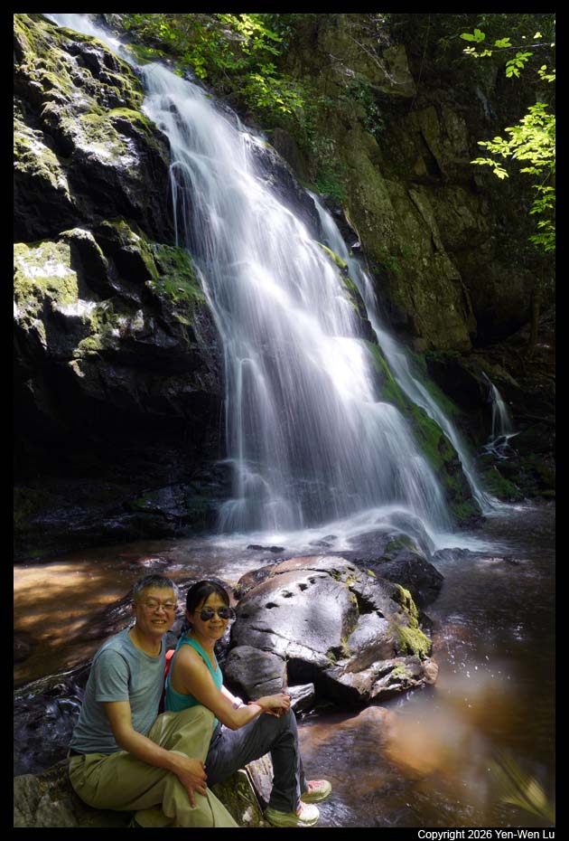
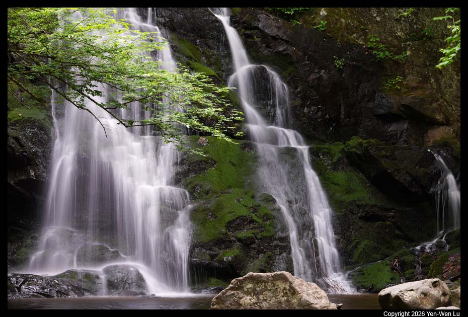
Near the end of the trail, rock slabs and boulders line the creek, and the
multi-tiered cascade pours into a small pool. It was such a beautiful
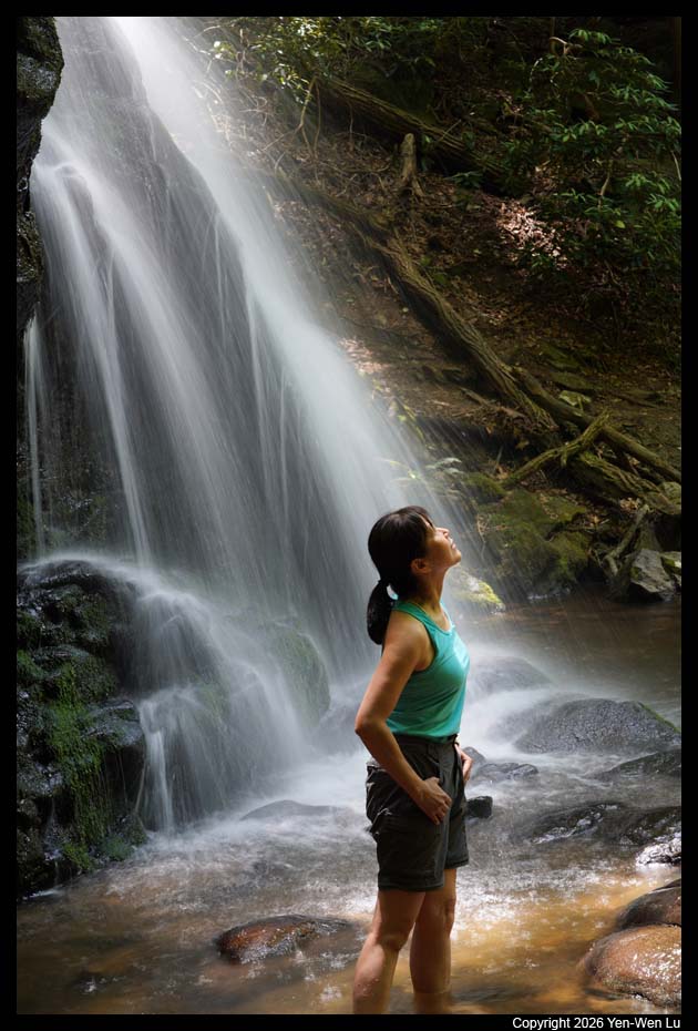
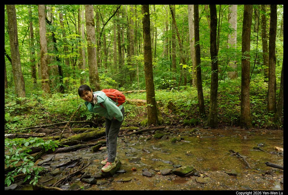
surrounding. When we sat there to enjoy the coolness of the
waterfalls, Woanyu decided to take off her shoes and walked into the shallow
pool.
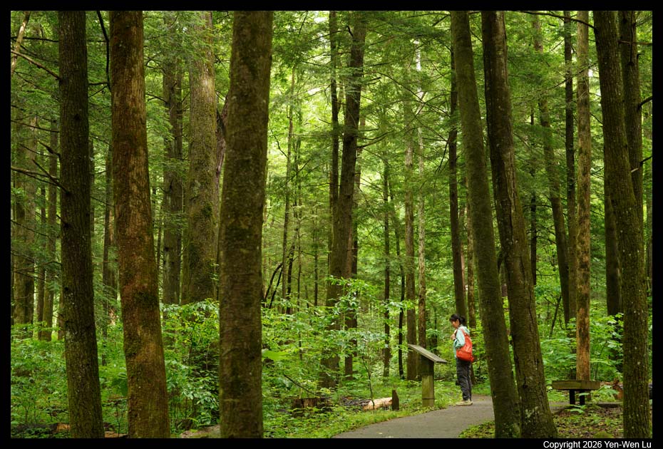
- Gatlinburg
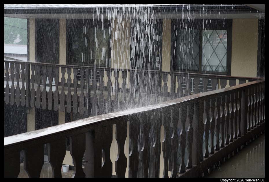
When we got to Gatlinburg in the afternoon at about 5PM,
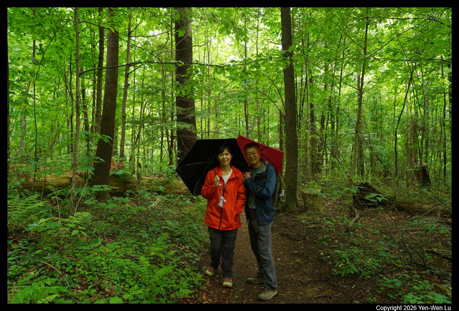
the weather had changed and it started to
rain heavily. When the
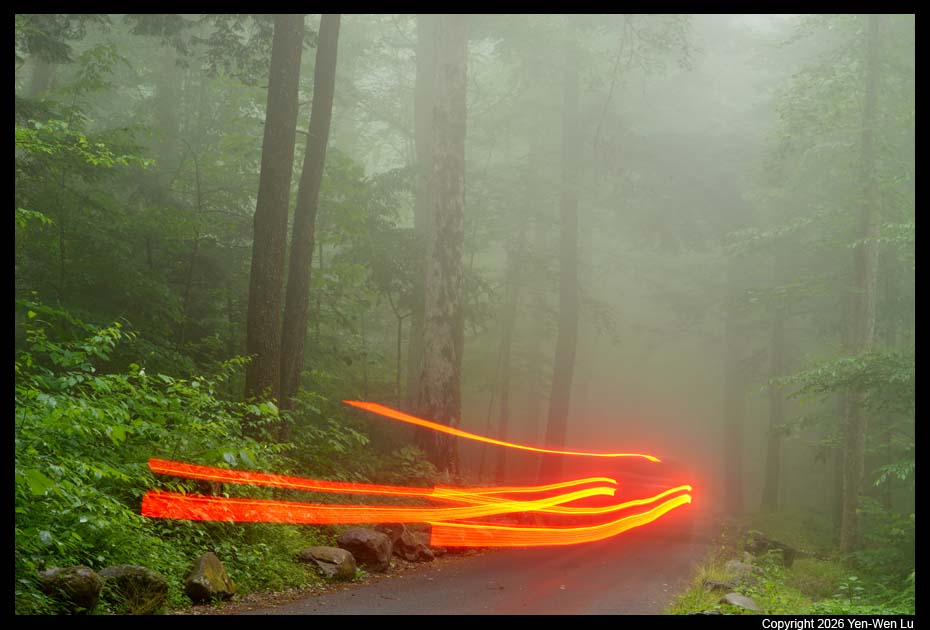
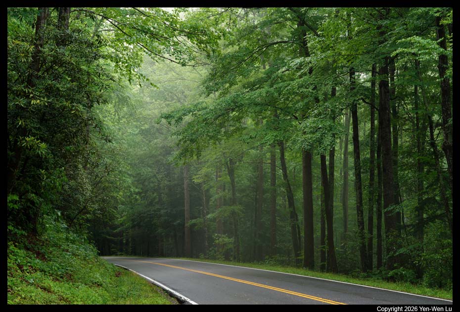
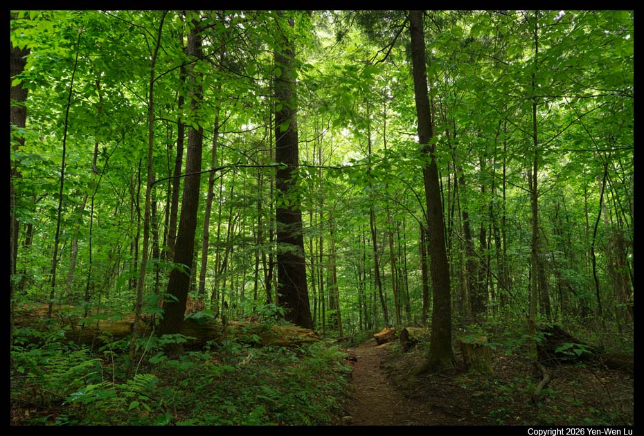
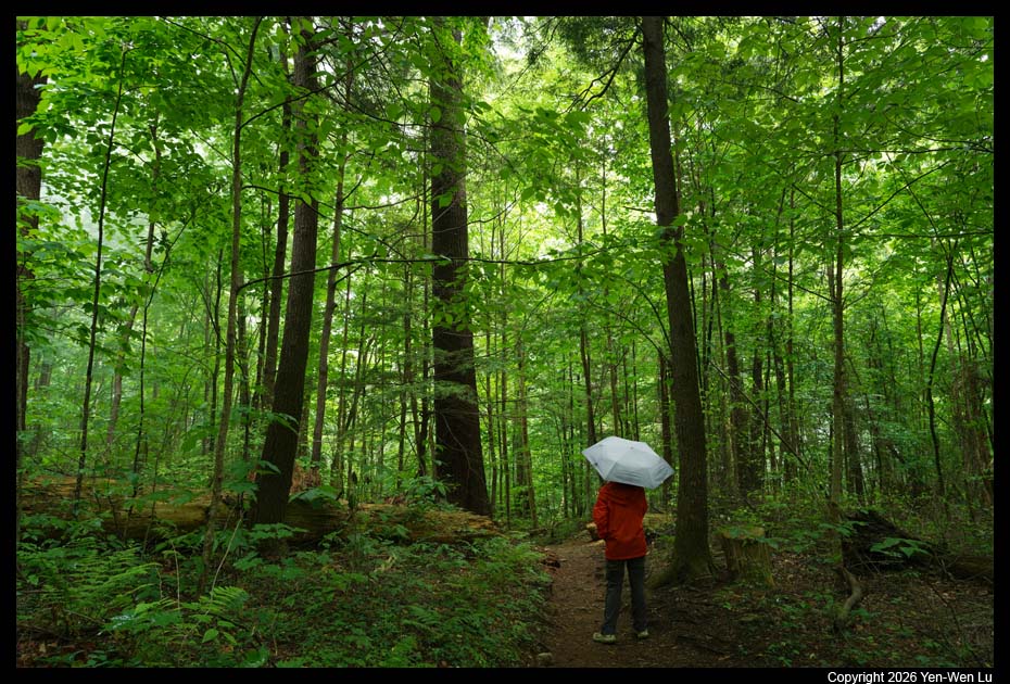
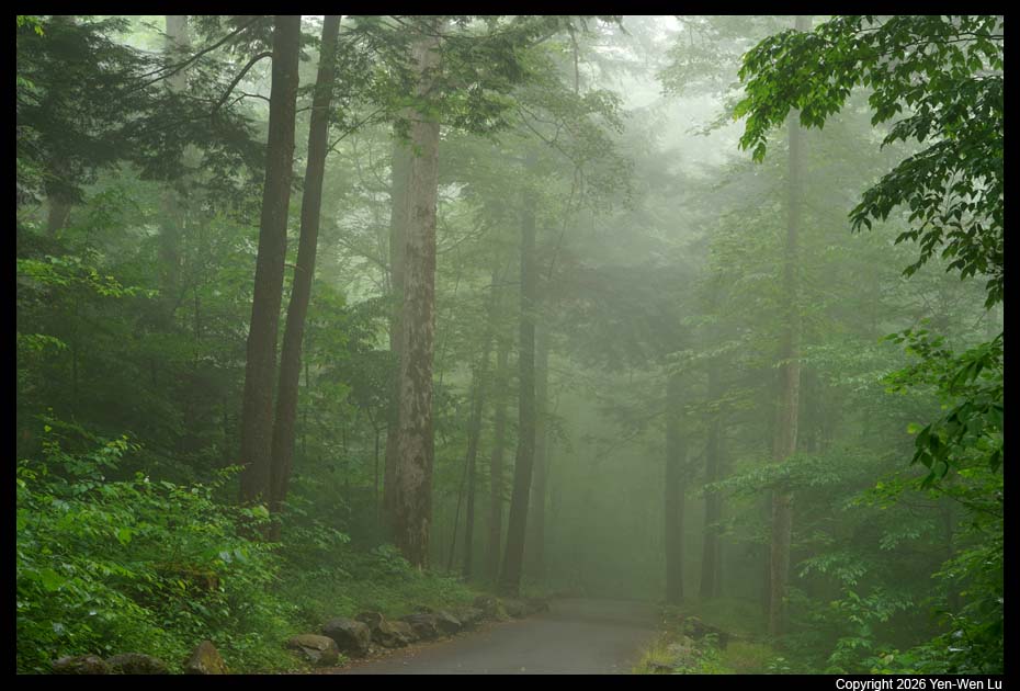
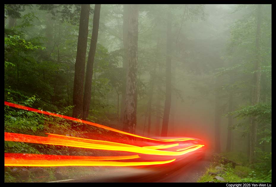
rain stopped at about 7:30PM, we decided to go out to drive around.
My original plan was to go to some vista point to try our luck to see if we
could have some nice sunset after storm, but I quickly abandoned that idea
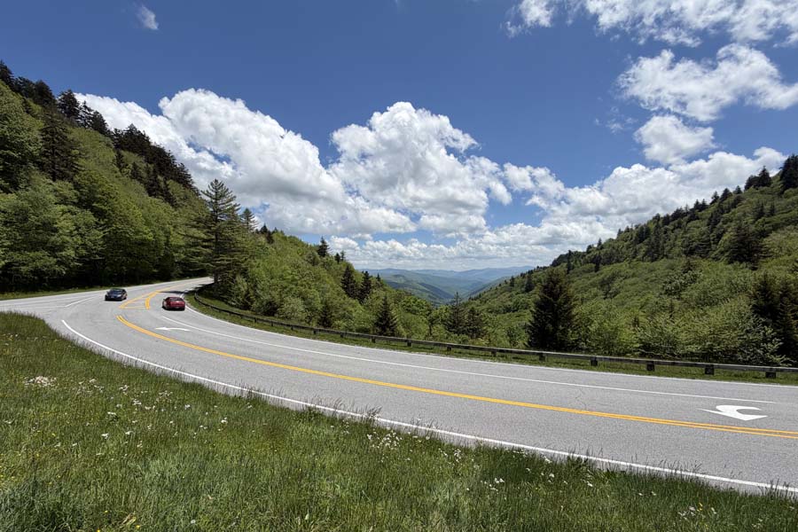
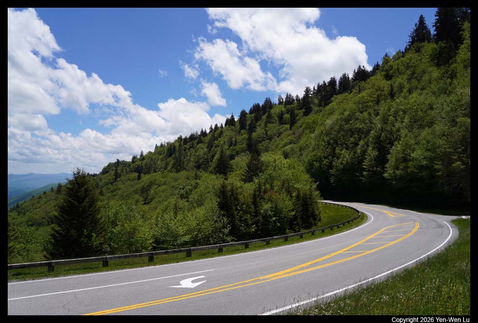
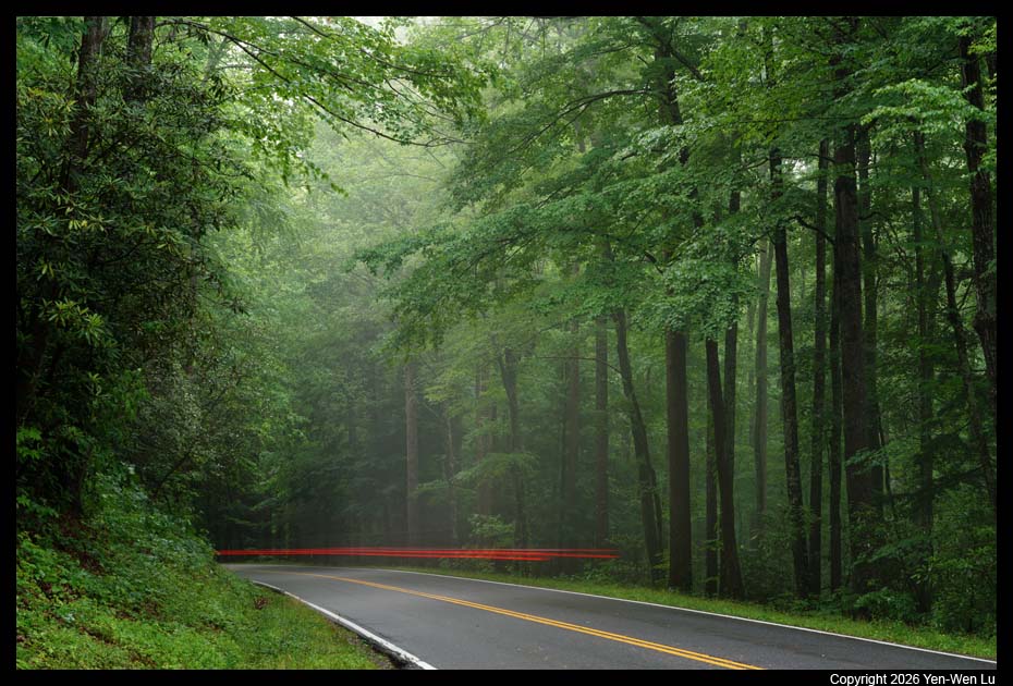
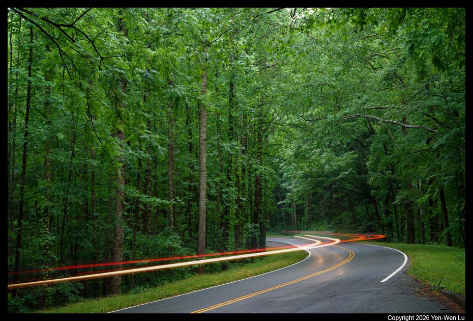
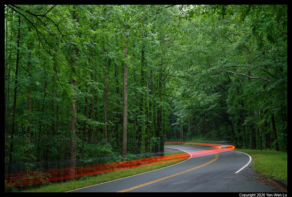
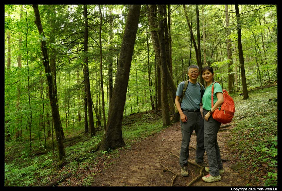
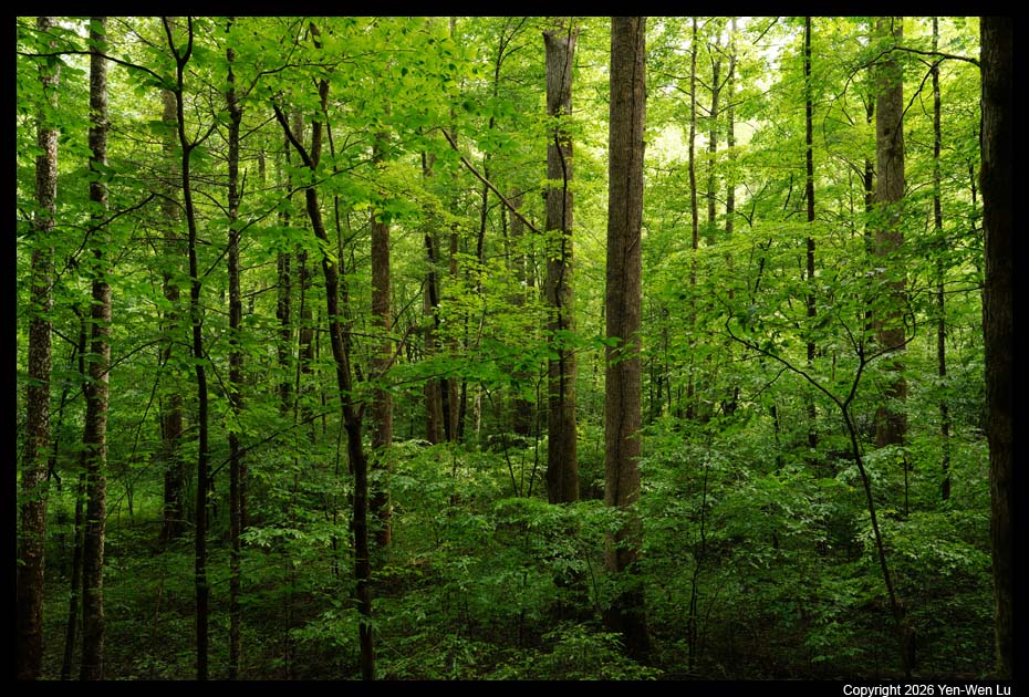
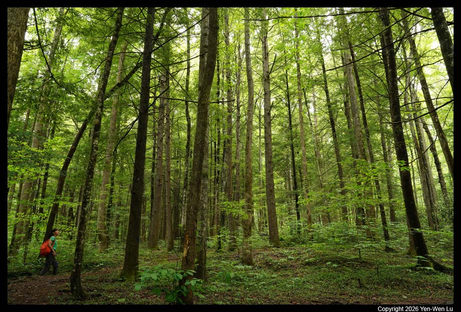
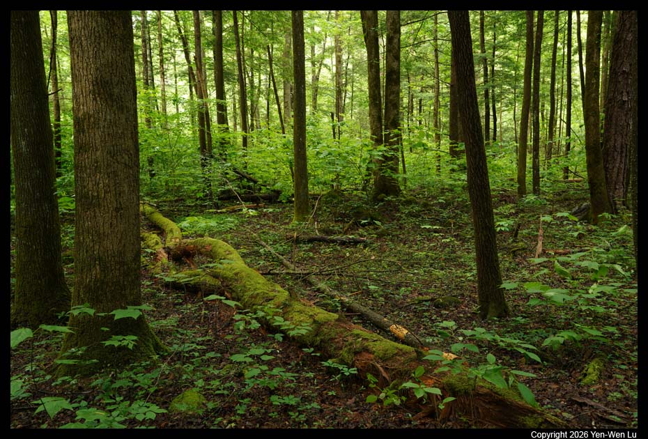
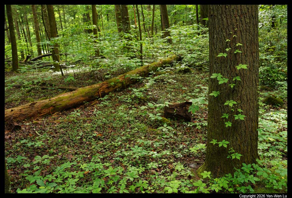
and we just stopped at a turnout along US441 to photograph the forest and
passing cars.
Day 4 (5/21) ...
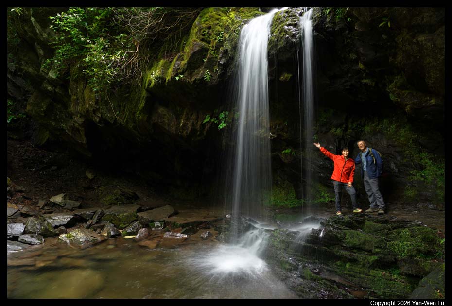
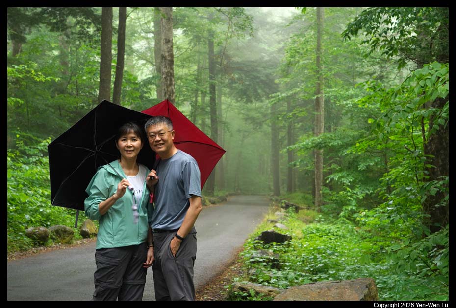
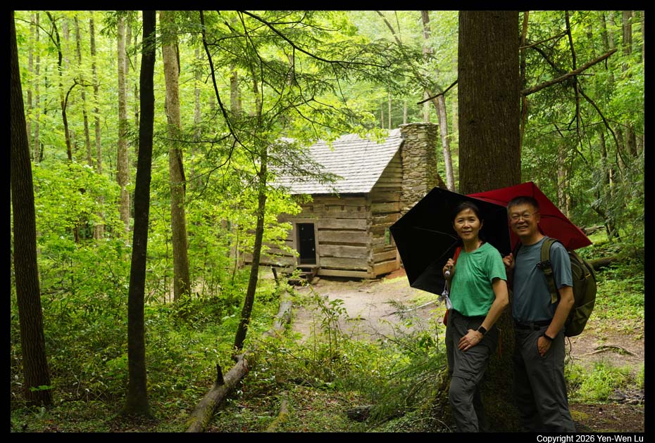
- Grotto Falls
The
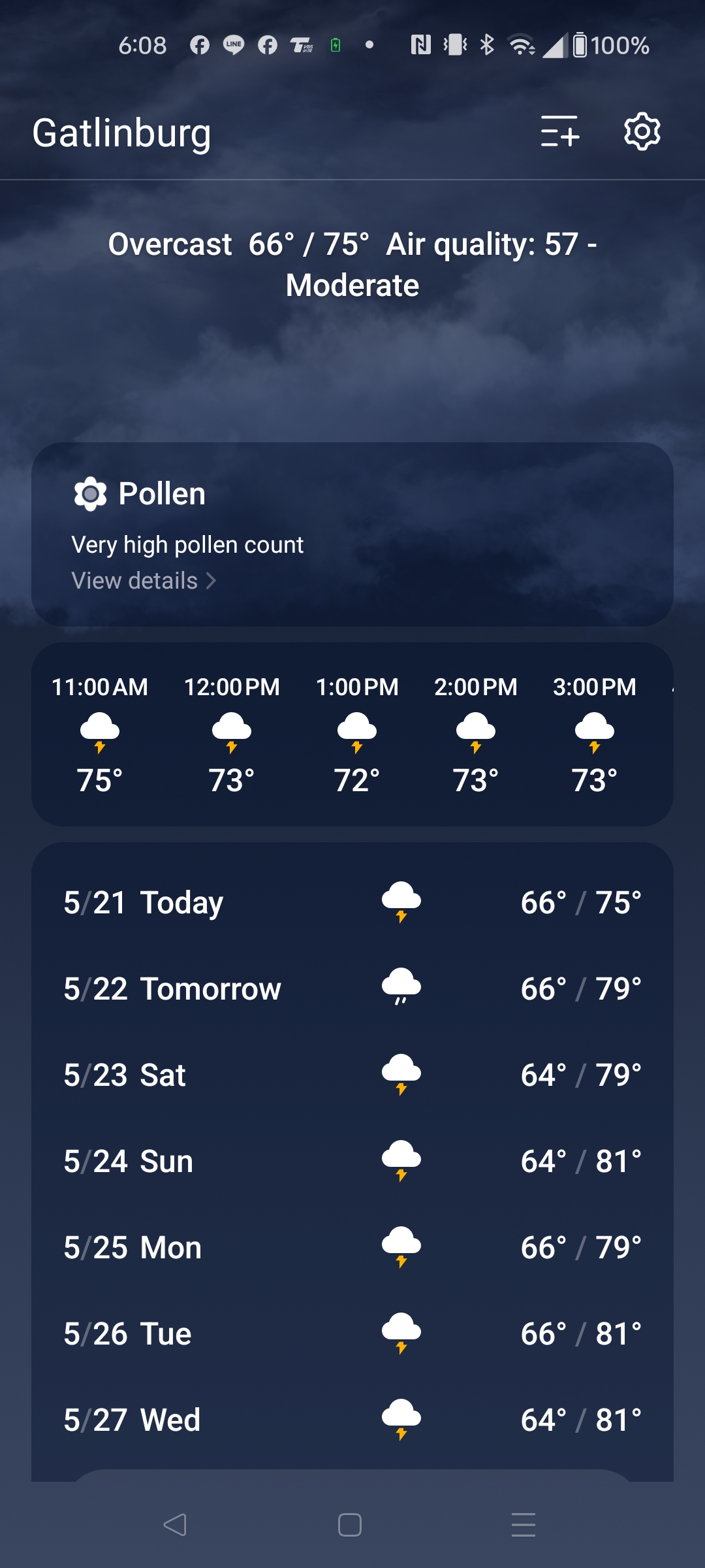
weather forecast was really bad for the next few days. I had to
change my plan to choose shorter, easier, and safer (in rainy days) hiking
trails. We parked at Trillium Gap Trailhead on the one-way Roaring
Fork Motor Nature Trail Road to hike to the Grotto Falls. It has very
limited parking space and we were lucky to get the last spot when we got
there at about 8AM. It actually started to rain when we got there so
we stayed in the car for ~ 15 minutes before we started our hike to the
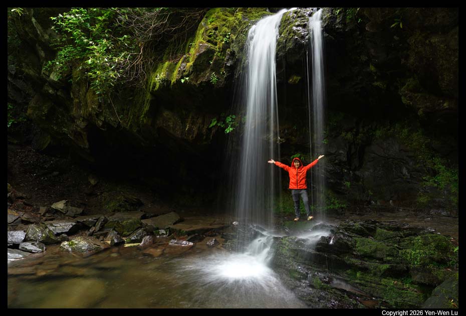
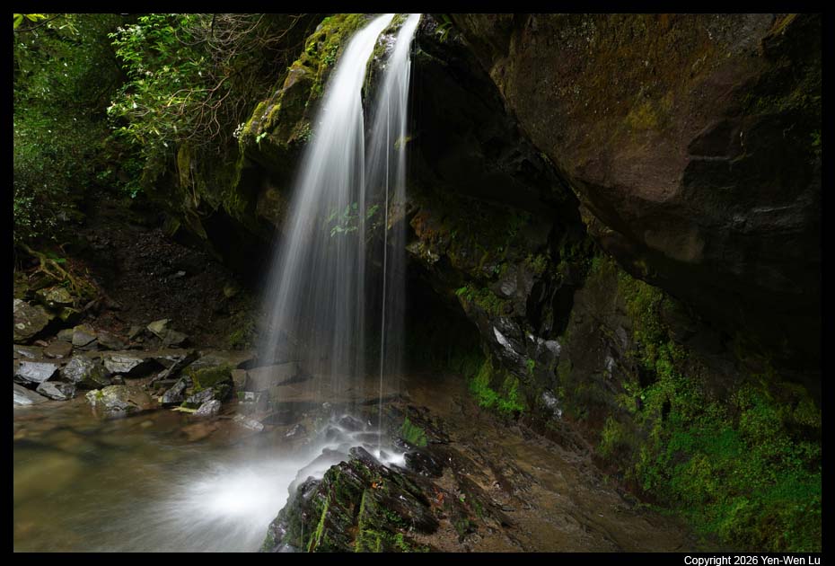
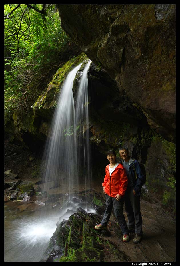
Grotto Falls. The Grotto Falls trail is 2.6 miles (4.2 km) round-trip
as it crosses multiple streams and meanders through sections of old-growth
forest and rhododendron to reach a cool mountain cove with mossy boulders
and a unique waterfall you can walk behind.
- Roaring Fork Motor Nature Trail Road
The Roaring Fork Motor Nature
Trail is a one-way road that allows visitors to immerse themselves in the
lush, biodiverse forest of the Smoky Mountains from the comfort of their
vehicles. Spanning 5.5 miles, this narrow, winding loop road invites
traveler to slow down and appreciate the natural beauty and historical
significance of the landscape. Roaring Fork Motor Nature Trail treats
visitors to views of rushing mountain streams, glimpses of old-growth
forests, and well-preserved log cabins, gristmills, and other historic
buildings that tell the story of the region's past.
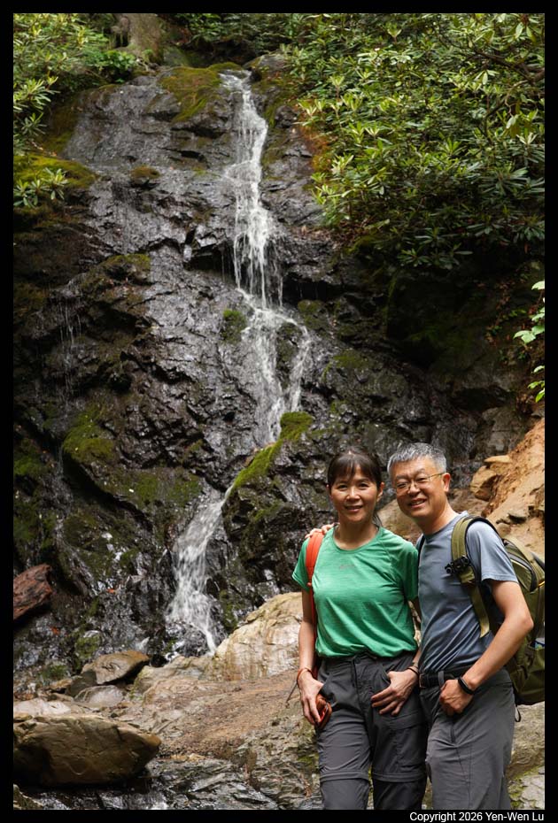
- Cataract Falls & Fighting Creek Nature Trail
After a lunch back in
Gatlinburg and an easy stroll around the town (we tasted and bought some
beef jerky and peanut butter), we went back to the hotel room to take a long
break (although the rain has stopped, the forecast still predicted more rain
shower to come). In the late afternoon, we drove to the Sugarlands
Visitor Center, and took the simple walk to Cataract Falls and Fighting
Creek Nature Trail.
Day 5 (5/22) ...
- Salt & Pepper Shaker
Museum
It's another predicted rainy day. We decided to visit a
small unique Salt & Pepper Shaker Museum, just 2-minute walk from our hotel
across the street. The museum houses more than 20,000 pairs of salt
and pepper shakers from all over the world. The museum was founded in
2002 by Andrea Ludden, a Belgian archaeologist. Andrea started
collecting pepper mills in 1984 and soon, salt and pepper shakers became the
focus of her collection. It's an amazing small museum. We spent
an hour wandering around, and every time we went back to the same display
shelves, we found something new and interesting.
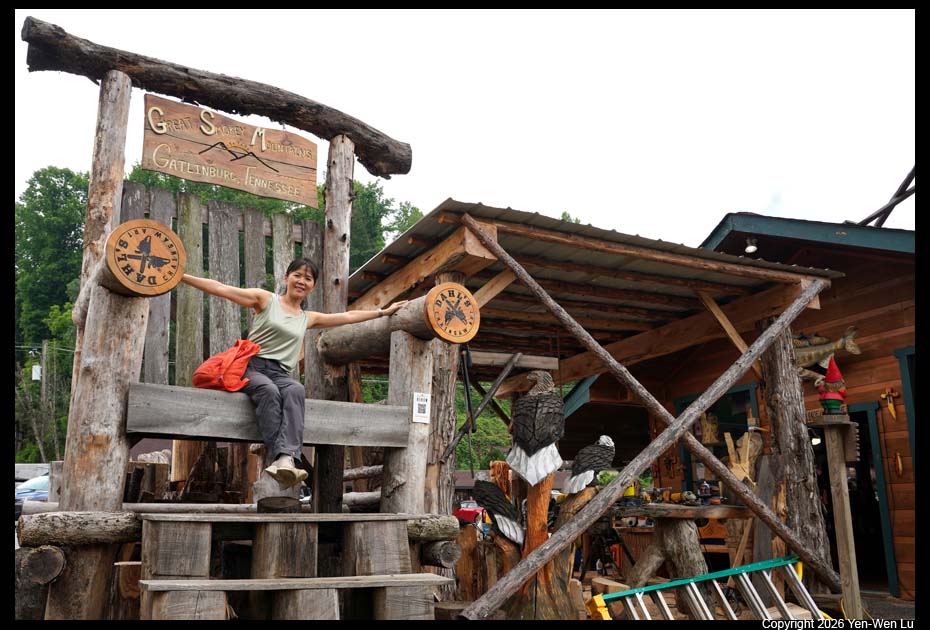
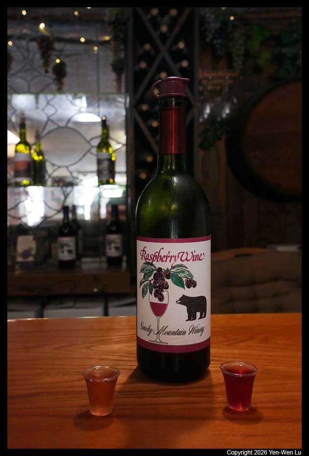
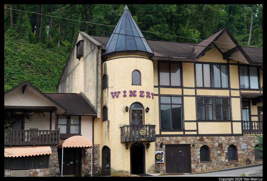
- In the same plaza, we did a wine tasting (strawberry and raspberry
wines) at the Smoky Mountain Winery
and visited Dahl's Chainsaw Art Gallery.
- Kuwohi
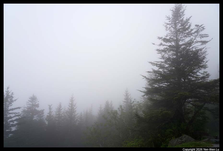
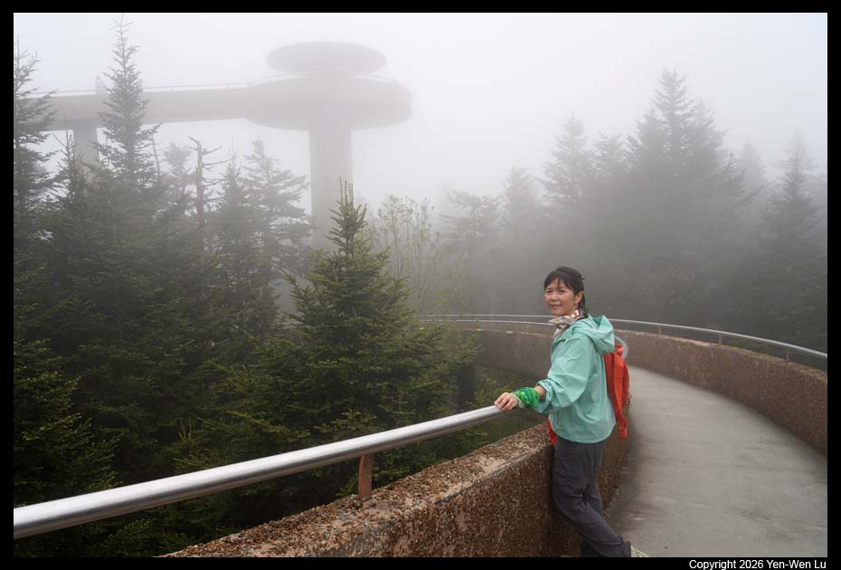
After lunch, we went to Kuwohi, the highest mountain in
Tennessee, because the weather forecast showed ~ 2-hour window of "partially
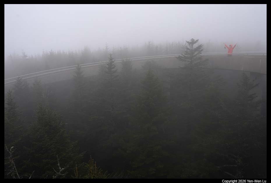
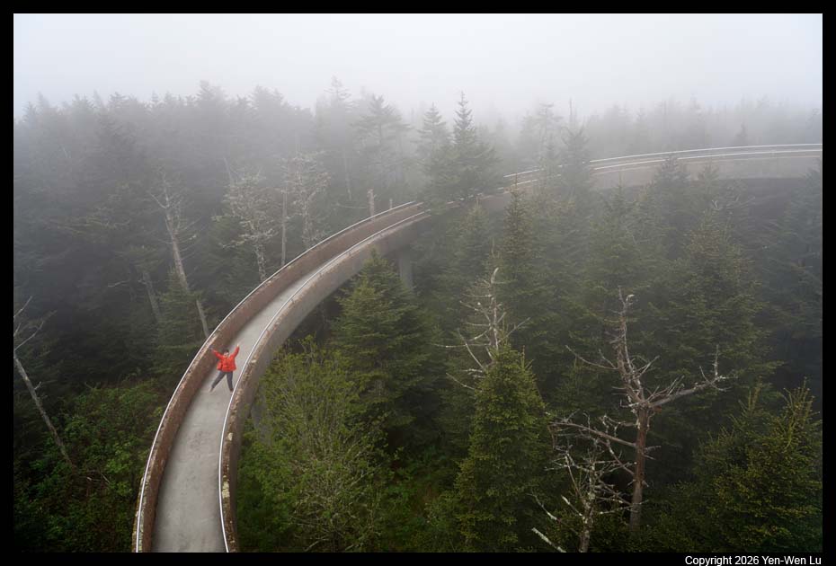
cloudy". It turned out we could not see anything at all at the Kuwohi
observation deck, a 45-foot (14 m) observation tower located atop Kuwohi,
and accessible via a 1⁄2-mile (0.80 km) paved trail. The tower is supposed
provides a 360 degree view over the Tennessee, North Carolina, and Georgia
mountains on a clear day :-)
Kuwohi is a sacred place for the Cherokee
people and is the highest point within the traditional Cherokee homeland.
The mountain became known as Clingmans Dome following an 1859 survey by
geographer Arnold Guyot, named for Thomas Lanier Clingman who was a lawyer,
U.S. Representative and Senator from North Carolina. The U.S.
Board of Geographic Names voted in 2024 to change the name of Clingmans Dome
to Kuwohi, the original Cherokee name for the mountain.
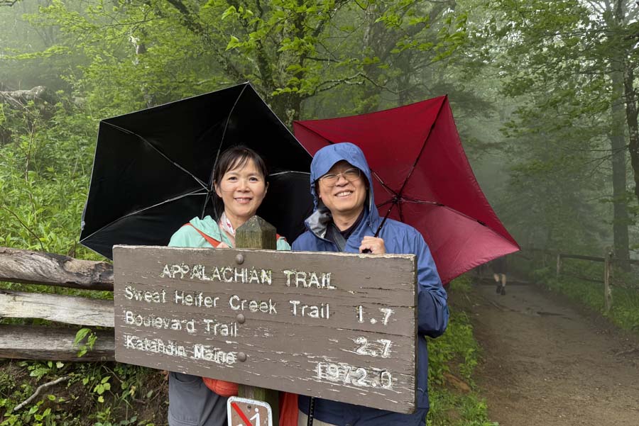
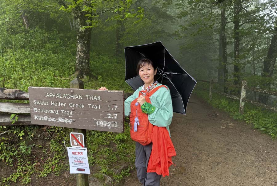
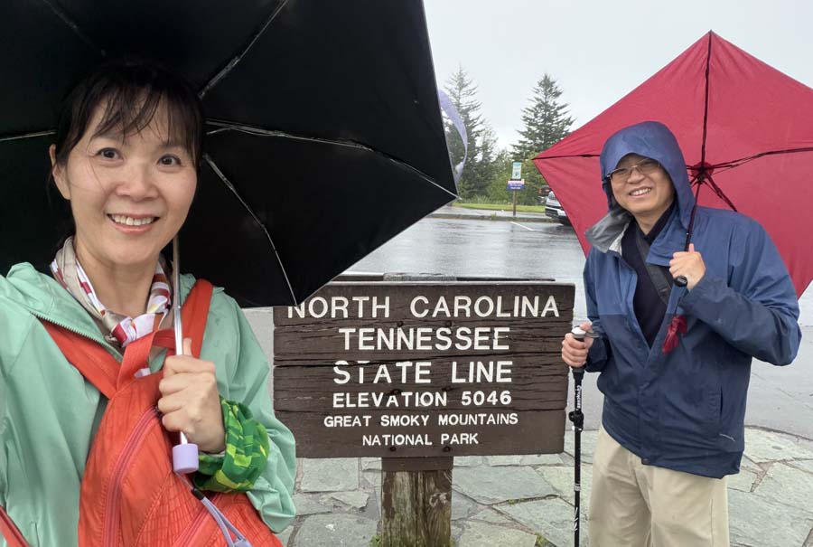
- Newfound Gap & Appalachian Trail
We went to the Newfound Gap
viewpoint and took a small section of Appalachian Trail. Unfortunately
after ~ 0.5 miles, it started to rain again and we decided to turn back.
The Appalachian Trail, also called the A.T., is a hiking trail in the
Eastern United States, extending almost 2,200 miles (3,540 km) between
Springer Mountain in Georgia and Mount Katahdin in Maine, and passing
through 14 states.
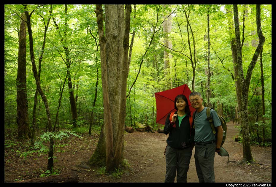
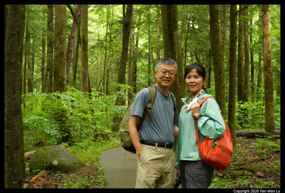
- Sugarland Valley Nature Trail
We stopped at the Sugarland Valley
Nature Trail because the rain has stopped and Woanyu wanted to find some
salamanders in the river. Although we did not have the luck to find
any salamander, it was a nice walk in the woods (without rain).
Day 6 (5/23) ...
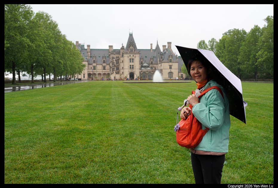
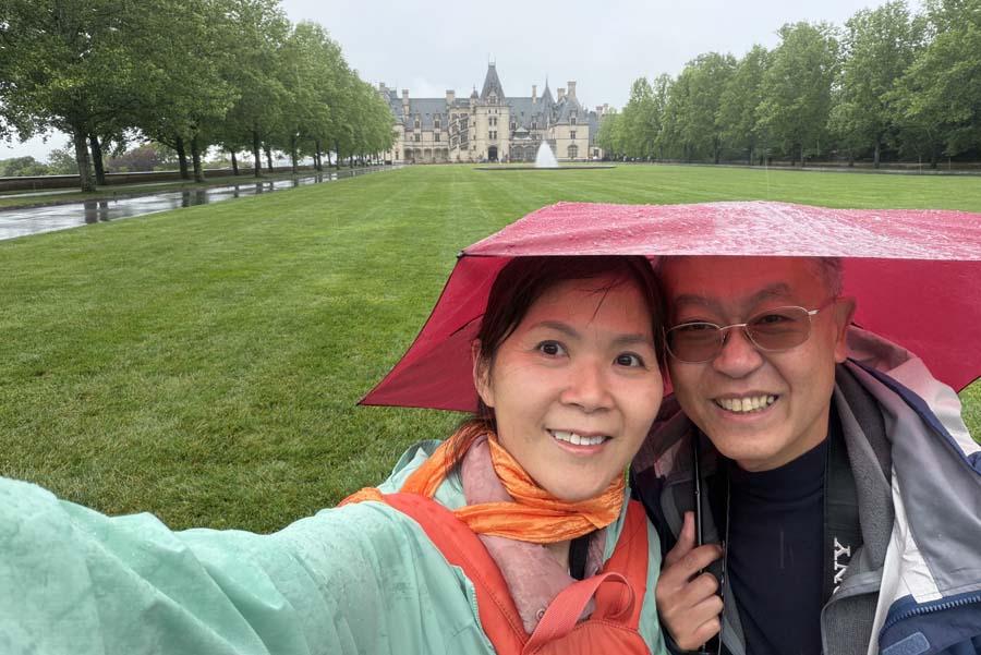
- Biltmore Estate
It's still a
bad weather day today. We decided not to go into the park this
morning, but went straight to our last destination, Biltmore Estate, before
catching our flight home in the late afternoon.
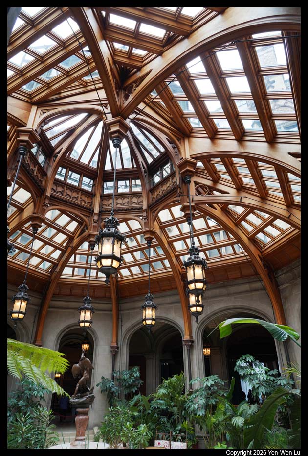
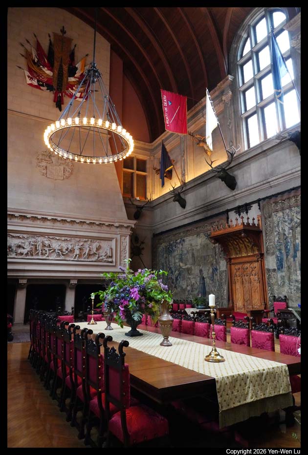
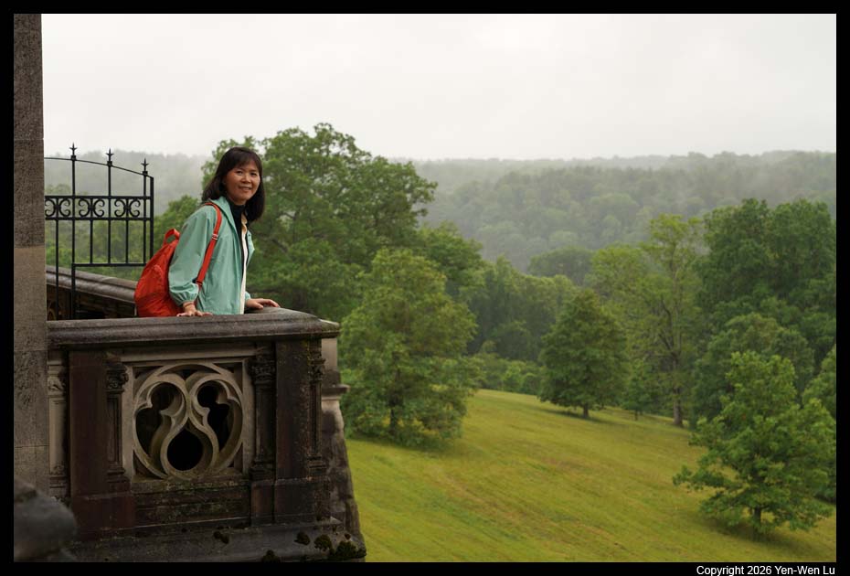
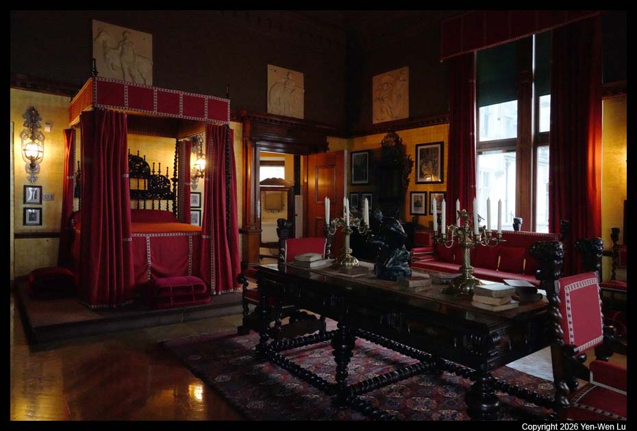
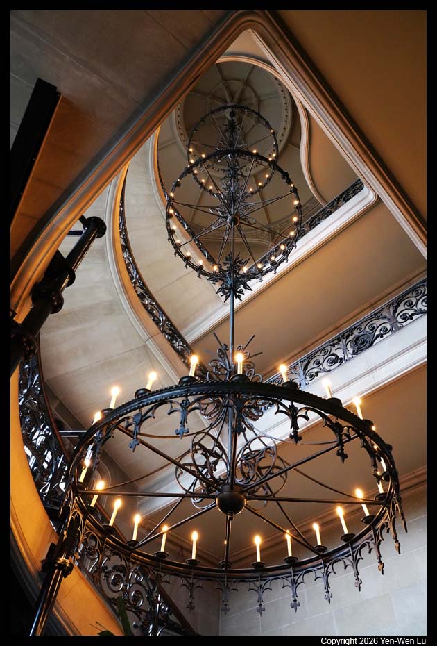
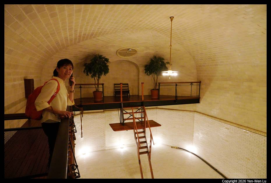
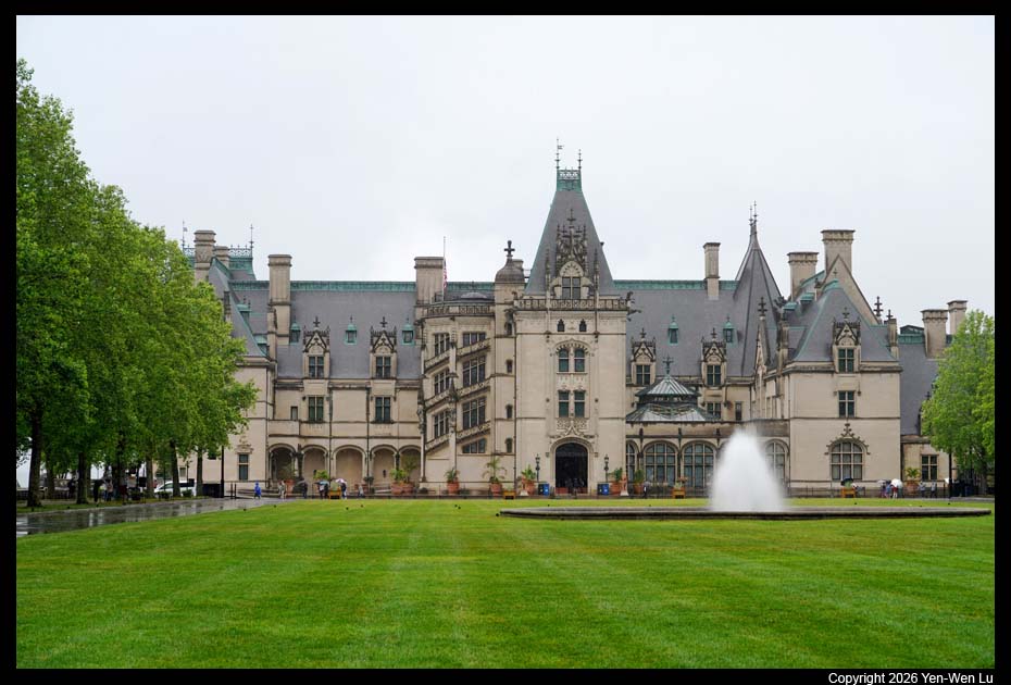
Biltmore Estate is a
historic house museum in Asheville, North Carolina. The main residence
is the Biltmore House, a Châteauesque-style mansion built by George
Washington Vanderbilt II (a grandson of Cornelius Vanderbilt) between 1889
and 1895. The 250-room mansion is the largest privately owned house in the
United States at 178,926 sq ft (16,622.8 m^2) of floor space and 135,280 sq
ft (12,568 m^2) of living area. It is still owned by George Vanderbilt's
descendants and remains one of the most prominent examples of Gilded Age
mansions.
After visiting the house, we drove to the Antler Hill
Village (still inside the estate) to have a quick lunch and free wine tasting.
There were not many tourists around the village since it was raining hard
again...
Going Home ...
We were back to AVL airport at ~3:30PM and learned our flight (5:35PM) to ORD
was delayed more than an hour to 6:45PM. In spite of the delay, we still
had plenty of time at ORD to rest and have a light dinner before our flight back
to SFO. We landed at SFO at 12:30AM (on 5/24 Sunday) and finally got home
at ~ 1:30AM. This trip combined some important family event (Iris's
wedding) and our interest for nature (and our collection of US National
Parks). We had good weather and encounters of wildlife for the first 3
days in Cades Cove in Great Smoky Mountains, but not so good weather in the last
few days around Gatlinburg area. It's a good reason to come back the Great
Smoky Mountains National Park again in the future (maybe in fall color season)
to explore more of the mountains and forests.
[Back to Photo Page]
[Gallery]